Harriet Ranch Topo Map New Mexico
To zoom in, hover over the map of Harriet Ranch
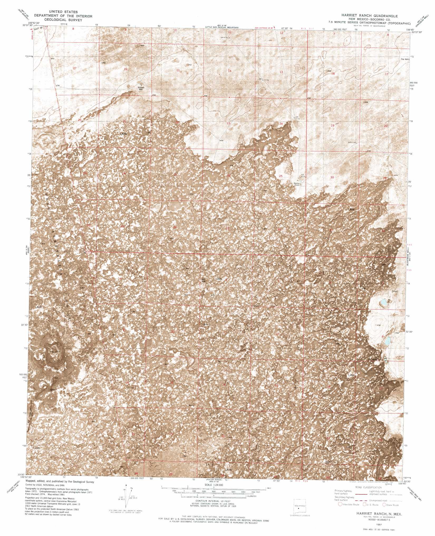
USGS Topo Quad 33106e7 - 1:24,000 scale
| Topo Map Name: | Harriet Ranch |
| USGS Topo Quad ID: | 33106e7 |
| Print Size: | ca. 21 1/4" wide x 27" high |
| Southeast Coordinates: | 33.5° N latitude / 106.75° W longitude |
| Map Center Coordinates: | 33.5625° N latitude / 106.8125° W longitude |
| U.S. State: | NM |
| Filename: | p33106e7.jpg |
| Download Map JPG Image: | Harriet Ranch topo map 1:24,000 scale |
| Map Type: | Orthophoto |
| Topo Series: | 7.5´ |
| Map Scale: | 1:24,000 |
| Source of Map Images: | United States Geological Survey (USGS) |
| Alternate Map Versions: |
Harriet Ranch NM 1981, updated 1982 Download PDF Buy paper map Harriet Ranch NM 2010 Download PDF Buy paper map Harriet Ranch NM 2013 Download PDF Buy paper map Harriet Ranch NM 2017 Download PDF Buy paper map |
1:24,000 Topo Quads surrounding Harriet Ranch
Cienega Ranch |
Indian Well Wilderness |
San Antonio Se |
Cerro De La Campana |
Cerro De La Campana Se |
Fort Craig |
San Marcial |
Little San Pasqual Mountain |
Granjean Well |
Greens Baber Well |
Paraje Well |
Pope |
Harriet Ranch |
Blakemore Well |
Foster Well |
Lava |
Tucson Spring |
Fuller Ranch |
Salinas Peak Nw |
Fairview Mountain |
Crocker |
Fairview Well |
Fence Canyon |
Big Gyp Mountain |
Salinas Peak |
> Back to 33106e1 at 1:100,000 scale
> Back to 33106a1 at 1:250,000 scale
> Back to U.S. Topo Maps home
Harriet Ranch topo map: Gazetteer
Harriet Ranch: Areas
Jornada del Muerto elevation 1449m 4753′Harriet Ranch: Lakes
Lambing Lake elevation 1444m 4737′Harriet Ranch: Mines
Lava Station elevation 1446m 4744′Harriet Ranch: Parks
Jornada del Muerto Wilderness Study Area elevation 1494m 4901′Harriet Ranch: Reservoirs
Lambing Tank elevation 1444m 4737′Harriet Ranch: Wells
Hariet West Water Well elevation 1445m 4740′Harriet Well elevation 1446m 4744′
Harriet Well elevation 1445m 4740′
RG 2369 Water Well elevation 1440m 4724′
Harriet Ranch digital topo map on disk
Buy this Harriet Ranch topo map showing relief, roads, GPS coordinates and other geographical features, as a high-resolution digital map file on DVD: