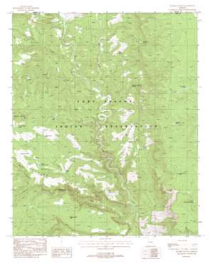
Double Buttes Topo Map Arizona
To zoom in, hover over the map of Double Buttes
USGS Topo Quad 33110h6 - 1:24,000 scale
| Topo Map Name: | Double Buttes |
| USGS Topo Quad ID: | 33110h6 |
| Print Size: | ca. 21 1/4" wide x 27" high |
| Southeast Coordinates: | 33.875° N latitude / 110.625° W longitude |
| Map Center Coordinates: | 33.9375° N latitude / 110.6875° W longitude |
| U.S. State: | AZ |
| Filename: | o33110h6.jpg |
| Download Map JPG Image: | Double Buttes topo map 1:24,000 scale |
| Map Type: | Topographic |
| Topo Series: | 7.5´ |
| Map Scale: | 1:24,000 |
| Source of Map Images: | United States Geological Survey (USGS) |
| Alternate Map Versions: |
Double Buttes AZ 1988, updated 1988 Download PDF Buy paper map Double Buttes AZ 2011 Download PDF Buy paper map Double Buttes AZ 2014 Download PDF Buy paper map |
1:24,000 Topo Quads surrounding Double Buttes
> Back to 33110e1 at 1:100,000 scale
> Back to 33110a1 at 1:250,000 scale
> Back to U.S. Topo Maps home
Double Buttes topo map: Gazetteer
Double Buttes: Reservoirs
Canyon Butte Tank elevation 1792m 5879′Cottontail Tank elevation 1709m 5606′
Doe Tank elevation 1429m 4688′
Double Butte Tank elevation 1555m 5101′
Dry Tank elevation 1445m 4740′
Duck Walk Tank elevation 1720m 5643′
Hill Tank elevation 1538m 5045′
Horse Canyon Tank elevation 1509m 4950′
Horse Tank elevation 1443m 4734′
Keystone Tank elevation 1573m 5160′
Lower Canyon Butte Tank elevation 1704m 5590′
Lower Keystone Tank elevation 1509m 4950′
Mustang Ridge Tank elevation 1550m 5085′
Double Buttes: Ridges
Keystone Ridge elevation 1538m 5045′Double Buttes: Springs
Deer Spring elevation 1379m 4524′Number Twentysix Spring elevation 1363m 4471′
Whitetail Spring elevation 1383m 4537′
Wild Nut Spring elevation 1496m 4908′
Double Buttes: Streams
Oak Creek elevation 1280m 4199′Rock House Creek elevation 1288m 4225′
Sloan Creek elevation 1308m 4291′
Willow Creek elevation 1088m 3569′
Double Buttes: Summits
Indian Butte elevation 1490m 4888′Double Buttes: Valleys
Horse Canyon elevation 1429m 4688′Rock House Canyon elevation 1283m 4209′
Willow Spring Canyon elevation 1422m 4665′
Double Buttes digital topo map on disk
Buy this Double Buttes topo map showing relief, roads, GPS coordinates and other geographical features, as a high-resolution digital map file on DVD:


