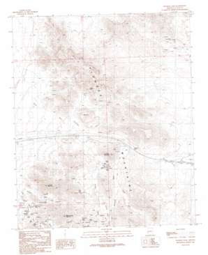
Plomosa Pass Topo Map Arizona
To zoom in, hover over the map of Plomosa Pass
USGS Topo Quad 33114f1 - 1:24,000 scale
| Topo Map Name: | Plomosa Pass |
| USGS Topo Quad ID: | 33114f1 |
| Print Size: | ca. 21 1/4" wide x 27" high |
| Southeast Coordinates: | 33.625° N latitude / 114° W longitude |
| Map Center Coordinates: | 33.6875° N latitude / 114.0625° W longitude |
| U.S. State: | AZ |
| Filename: | o33114f1.jpg |
| Download Map JPG Image: | Plomosa Pass topo map 1:24,000 scale |
| Map Type: | Topographic |
| Topo Series: | 7.5´ |
| Map Scale: | 1:24,000 |
| Source of Map Images: | United States Geological Survey (USGS) |
| Alternate Map Versions: |
Plomosa Pass AZ 1990, updated 1990 Download PDF Buy paper map Plomosa Pass AZ 2011 Download PDF Buy paper map Plomosa Pass AZ 2014 Download PDF Buy paper map |
1:24,000 Topo Quads surrounding Plomosa Pass
> Back to 33114e1 at 1:100,000 scale
> Back to 33114a1 at 1:250,000 scale
> Back to U.S. Topo Maps home
Plomosa Pass topo map: Gazetteer
Plomosa Pass: Gaps
Plomosa Pass elevation 500m 1640′Plomosa Pass: Mines
Belle of Arizona Mine elevation 575m 1886′Black Beauty Mine elevation 487m 1597′
Gold Nugget Mine elevation 513m 1683′
Plomosa Pass: Populated Places
Plomosa elevation 454m 1489′Plomosa Pass: Ranges
Plomosa Mountains elevation 546m 1791′Plomosa Pass: Reservoirs
Lazarus Tanks elevation 538m 1765′Plomosa Pass: Streams
Apache Wash elevation 567m 1860′Chalk Wash elevation 544m 1784′
Colorado Wash elevation 494m 1620′
Italian Wash elevation 366m 1200′
Poormans Wash elevation 409m 1341′
Plomosa Pass: Summits
Boxcar elevation 563m 1847′Elephant Back Mountain elevation 798m 2618′
Guadalupe Mountain elevation 774m 2539′
Scaddan Mountain elevation 0m 0′
Plomosa Pass digital topo map on disk
Buy this Plomosa Pass topo map showing relief, roads, GPS coordinates and other geographical features, as a high-resolution digital map file on DVD:


