Northwest Pontotoc Topo Map Mississippi
To zoom in, hover over the map of Northwest Pontotoc
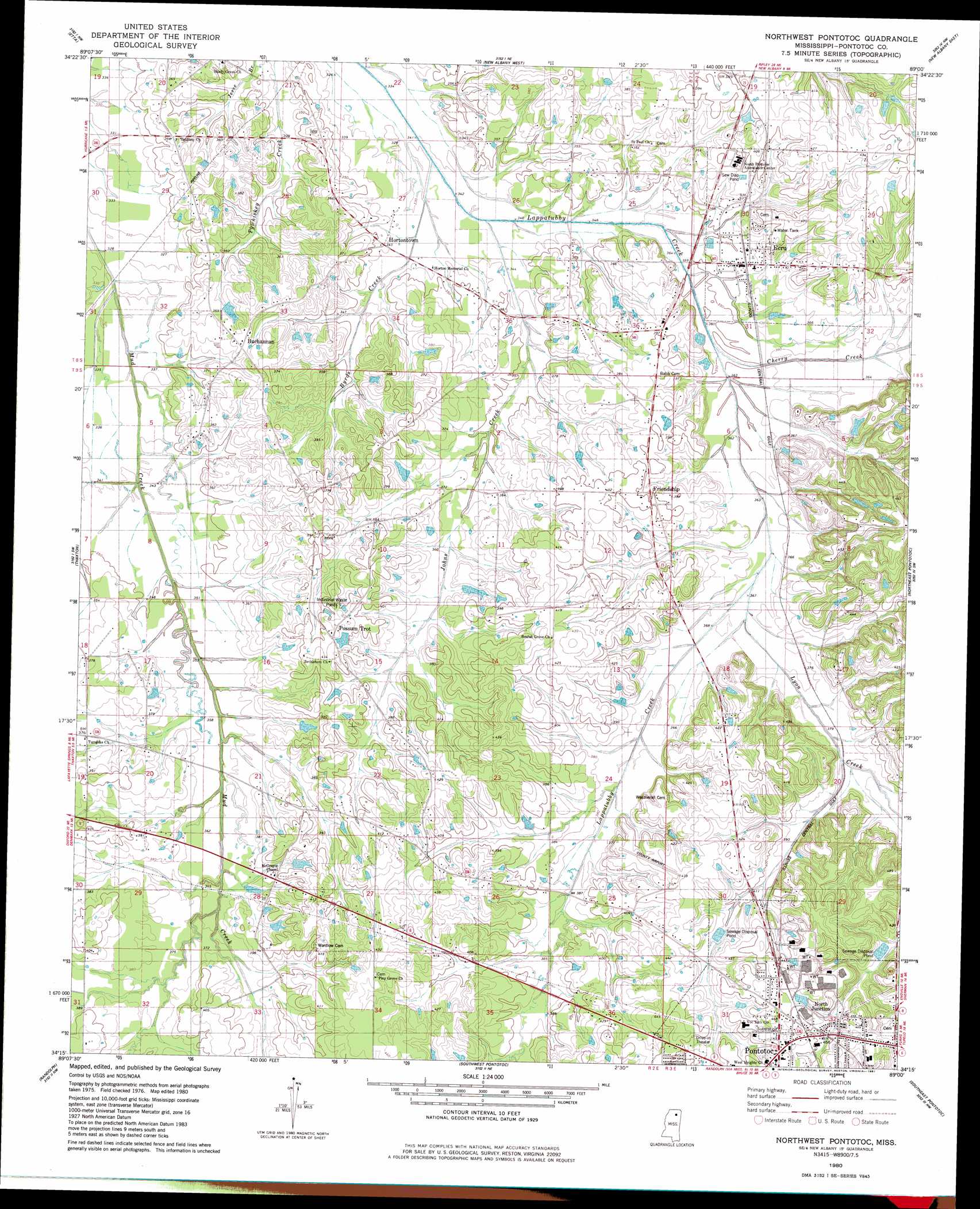
USGS Topo Quad 34089c1 - 1:24,000 scale
| Topo Map Name: | Northwest Pontotoc |
| USGS Topo Quad ID: | 34089c1 |
| Print Size: | ca. 21 1/4" wide x 27" high |
| Southeast Coordinates: | 34.25° N latitude / 89° W longitude |
| Map Center Coordinates: | 34.3125° N latitude / 89.0625° W longitude |
| U.S. State: | MS |
| Filename: | o34089c1.jpg |
| Download Map JPG Image: | Northwest Pontotoc topo map 1:24,000 scale |
| Map Type: | Topographic |
| Topo Series: | 7.5´ |
| Map Scale: | 1:24,000 |
| Source of Map Images: | United States Geological Survey (USGS) |
| Alternate Map Versions: |
Northwest Pontotoc MS 1980, updated 1981 Download PDF Buy paper map Northwest Pontotoc MS 2012 Download PDF Buy paper map Northwest Pontotoc MS 2015 Download PDF Buy paper map |
1:24,000 Topo Quads surrounding Northwest Pontotoc
Bethlehem |
Hickory Flat |
Myrtle |
Keownville |
Pleasant Ridge |
Puskus Lake |
Etta |
New Albany West |
New Albany East |
Ellistown |
Denmark |
Thaxton |
Northwest Pontotoc |
Northeast Pontotoc |
Sherman |
Tula |
Randolph |
Southwest Pontotoc |
Southeast Pontotoc |
Bissell |
Sarepta |
Robbs |
Houlka |
Troy |
Troy Se |
> Back to 34089a1 at 1:100,000 scale
> Back to 34088a1 at 1:250,000 scale
> Back to U.S. Topo Maps home
Northwest Pontotoc topo map: Gazetteer
Northwest Pontotoc: Airports
Pontotoc County Airport elevation 128m 419′Northwest Pontotoc: Dams
Boyce Monohan Pond Dam elevation 110m 360′Merle Palmer Lake Dam elevation 121m 396′
Northwest Pontotoc: Populated Places
Buchannan elevation 117m 383′Ecru elevation 117m 383′
Friendship elevation 120m 393′
Hortontown elevation 103m 337′
North Junction elevation 142m 465′
Possum Trot elevation 121m 396′
Rocky Ford elevation 109m 357′
Shady Grove elevation 110m 360′
Turnpike elevation 114m 374′
Northwest Pontotoc: Streams
Allen Branch elevation 109m 357′Byrds Creek elevation 101m 331′
Cherry Creek elevation 104m 341′
Johns Creek elevation 104m 341′
Lyon Creek elevation 110m 360′
Northwest Pontotoc digital topo map on disk
Buy this Northwest Pontotoc topo map showing relief, roads, GPS coordinates and other geographical features, as a high-resolution digital map file on DVD: