Marianna Topo Map Mississippi
To zoom in, hover over the map of Marianna
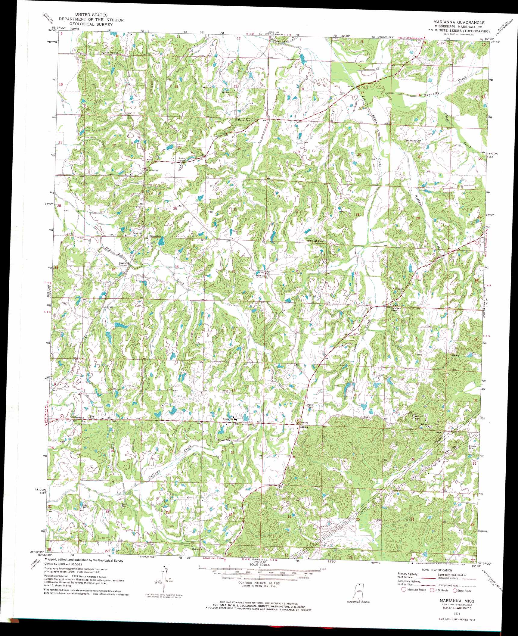
USGS Topo Quad 34089f5 - 1:24,000 scale
| Topo Map Name: | Marianna |
| USGS Topo Quad ID: | 34089f5 |
| Print Size: | ca. 21 1/4" wide x 27" high |
| Southeast Coordinates: | 34.625° N latitude / 89.5° W longitude |
| Map Center Coordinates: | 34.6875° N latitude / 89.5625° W longitude |
| U.S. State: | MS |
| Filename: | o34089f5.jpg |
| Download Map JPG Image: | Marianna topo map 1:24,000 scale |
| Map Type: | Topographic |
| Topo Series: | 7.5´ |
| Map Scale: | 1:24,000 |
| Source of Map Images: | United States Geological Survey (USGS) |
| Alternate Map Versions: |
Marianna MS 1971, updated 1973 Download PDF Buy paper map Marianna MS 2012 Download PDF Buy paper map Marianna MS 2015 Download PDF Buy paper map |
1:24,000 Topo Quads surrounding Marianna
Olive Branch |
Byhalia Nw |
Mount Pleasant |
Slayden |
Lamar |
Lewisburg |
Byhalia |
Red Banks |
Holly Springs |
Holly Springs Se |
Independence |
Wyatte |
Marianna |
Waterford |
Potts Camp |
Looxahoma |
Tyro |
Laws Hill |
Malone |
Bethlehem |
Sardis Dam |
Coles Point |
Oxford North |
Bagley Lake |
Puskus Lake |
> Back to 34089e1 at 1:100,000 scale
> Back to 34088a1 at 1:250,000 scale
> Back to U.S. Topo Maps home
Marianna topo map: Gazetteer
Marianna: Dams
J K Hurdle Lake Dam elevation 153m 501′Marianna: Populated Places
Galena elevation 176m 577′Marianna elevation 153m 501′
Marianna: Streams
Chew Creek elevation 124m 406′Jones Creek elevation 130m 426′
Nunnally Creek elevation 119m 390′
Wilkins Creek elevation 122m 400′
Marianna digital topo map on disk
Buy this Marianna topo map showing relief, roads, GPS coordinates and other geographical features, as a high-resolution digital map file on DVD: