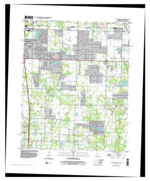
Pleasant Hill Topo Map Mississippi
To zoom in, hover over the map of Pleasant Hill
USGS Topo Quad 34089h8 - 1:24,000 scale
| Topo Map Name: | Pleasant Hill |
| USGS Topo Quad ID: | 34089h8 |
| Print Size: | ca. 21 1/4" wide x 27" high |
| Southeast Coordinates: | 34.875° N latitude / 89.875° W longitude |
| Map Center Coordinates: | 34.9375° N latitude / 89.9375° W longitude |
| U.S. States: | MS, TN |
| Filename: | o34089h8.jpg |
| Download Map JPG Image: | Pleasant Hill topo map 1:24,000 scale |
| Map Type: | Topographic |
| Topo Series: | 7.5´ |
| Map Scale: | 1:24,000 |
| Source of Map Images: | United States Geological Survey (USGS) |
| Alternate Map Versions: |
Pleasant Hill MS 1982, updated 1982 Download PDF Buy paper map Pleasant Hill MS 1996, updated 2001 Download PDF Buy paper map Pleasant Hill MS 2010 Download PDF Buy paper map Pleasant Hill MS 2012 Download PDF Buy paper map Pleasant Hill MS 2015 Download PDF Buy paper map |
1:24,000 Topo Quads surrounding Pleasant Hill
> Back to 34089e1 at 1:100,000 scale
> Back to 34088a1 at 1:250,000 scale
> Back to U.S. Topo Maps home
Pleasant Hill topo map: Gazetteer
Pleasant Hill: Canals
Camp Creek Canal elevation 80m 262′Pleasant Hill: Crossings
Interchange 284 elevation 93m 305′Interchange 289 elevation 98m 321′
Pleasant Hill: Populated Places
Jago elevation 104m 341′Pleasant Hill elevation 110m 360′
Plum Point elevation 116m 380′
Pleasant Hill: Reservoirs
Sunrise Lake elevation 101m 331′Sunset Lake elevation 104m 341′
Pleasant Hill digital topo map on disk
Buy this Pleasant Hill topo map showing relief, roads, GPS coordinates and other geographical features, as a high-resolution digital map file on DVD:


