Caddo Valley Topo Map Arkansas
To zoom in, hover over the map of Caddo Valley
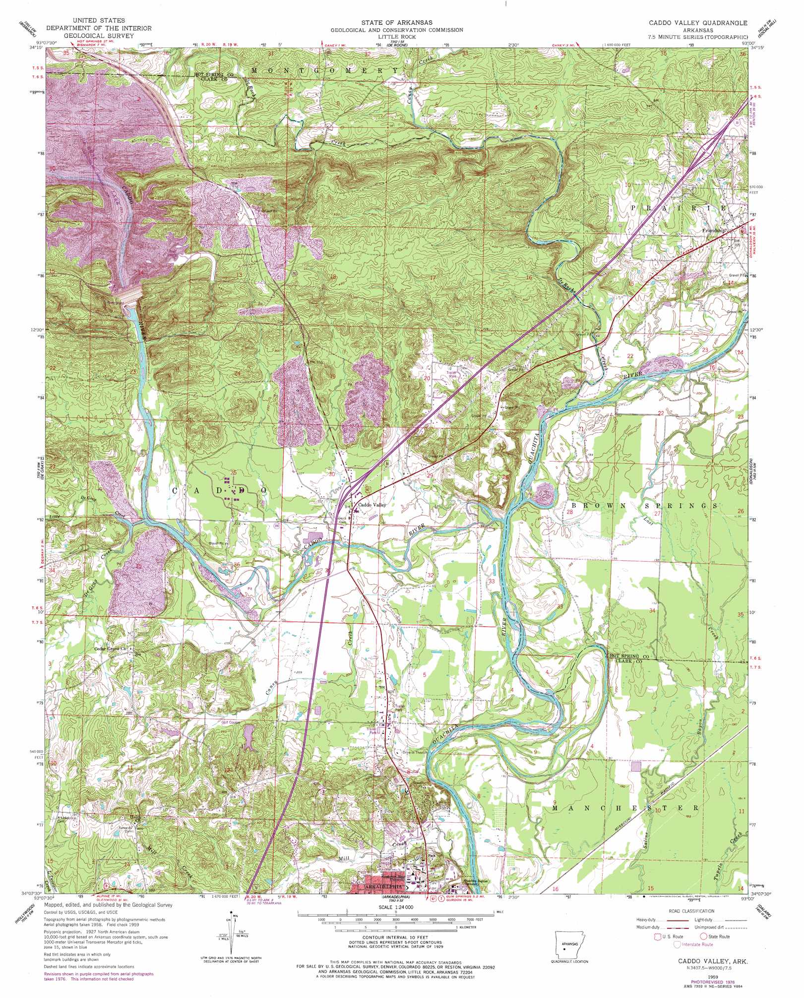
USGS Topo Quad 34093b1 - 1:24,000 scale
| Topo Map Name: | Caddo Valley |
| USGS Topo Quad ID: | 34093b1 |
| Print Size: | ca. 21 1/4" wide x 27" high |
| Southeast Coordinates: | 34.125° N latitude / 93° W longitude |
| Map Center Coordinates: | 34.1875° N latitude / 93.0625° W longitude |
| U.S. State: | AR |
| Filename: | o34093b1.jpg |
| Download Map JPG Image: | Caddo Valley topo map 1:24,000 scale |
| Map Type: | Topographic |
| Topo Series: | 7.5´ |
| Map Scale: | 1:24,000 |
| Source of Map Images: | United States Geological Survey (USGS) |
| Alternate Map Versions: |
Caddo Valley AR 1959, updated 1960 Download PDF Buy paper map Caddo Valley AR 1959, updated 1971 Download PDF Buy paper map Caddo Valley AR 1959, updated 1977 Download PDF Buy paper map Caddo Valley AR 2011 Download PDF Buy paper map Caddo Valley AR 2014 Download PDF Buy paper map |
1:24,000 Topo Quads surrounding Caddo Valley
Pearcy |
Hempwallace |
Hot Springs South |
Lake Catherine |
Malvern North |
Point Cedar |
Bismark |
De Roche |
Social Hill |
Malvern South |
Chalybeate Mountain East |
De Gray |
Caddo Valley |
Donaldson |
Round Hill |
Okolona North |
Hollywood |
Arkadelphia |
Dalark |
Manning |
Okolona South |
Gurdon |
Curtis |
Sparkman Nw |
Sparkman |
> Back to 34093a1 at 1:100,000 scale
> Back to 34092a1 at 1:250,000 scale
> Back to U.S. Topo Maps home
Caddo Valley topo map: Gazetteer
Caddo Valley: Crossings
Interchange 78 elevation 78m 255′Interchange 83 elevation 111m 364′
Caddo Valley: Dams
Country Club Lake Dam elevation 77m 252′De Gray Dam elevation 132m 433′
Degray Reregulating Dam elevation 69m 226′
Caddo Valley: Parks
A U Williams Stadium elevation 72m 236′Arkadelphia Central Park elevation 71m 232′
Feasler Park elevation 75m 246′
Haygood Stadium elevation 64m 209′
Highway 7 Recreation Area elevation 129m 423′
Lakeview Recreation Area elevation 122m 400′
Lower Lake Recreation Area elevation 66m 216′
Rab Rodgers Stadium elevation 71m 232′
Spillway-Dam Recreation Area elevation 123m 403′
Caddo Valley: Populated Places
Caddo Valley elevation 67m 219′Friendship elevation 94m 308′
Caddo Valley: Reservoirs
Country Club Lake elevation 77m 252′De Gray Lake elevation 132m 433′
Degray Reregulating Lake elevation 69m 226′
Caddo Valley: Streams
Caddo River elevation 54m 177′Caney Creek elevation 87m 285′
Caney Creek elevation 56m 183′
De Gray Creek elevation 65m 213′
De Roche Creek elevation 53m 173′
Little De Gray Creek elevation 66m 216′
Lost Creek elevation 58m 190′
Mill Creek elevation 75m 246′
Caddo Valley digital topo map on disk
Buy this Caddo Valley topo map showing relief, roads, GPS coordinates and other geographical features, as a high-resolution digital map file on DVD: