Pearcy Topo Map Arkansas
To zoom in, hover over the map of Pearcy
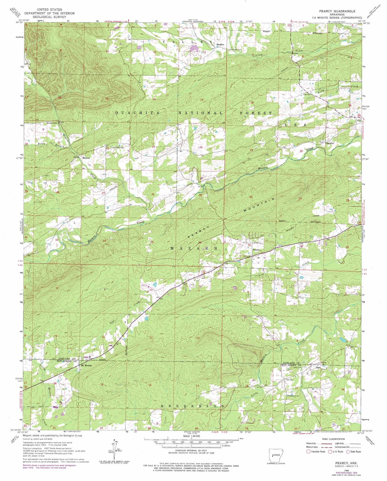
USGS Topo Quad 34093d3 - 1:24,000 scale
| Topo Map Name: | Pearcy |
| USGS Topo Quad ID: | 34093d3 |
| Print Size: | ca. 21 1/4" wide x 27" high |
| Southeast Coordinates: | 34.375° N latitude / 93.25° W longitude |
| Map Center Coordinates: | 34.4375° N latitude / 93.3125° W longitude |
| U.S. State: | AR |
| Filename: | o34093d3.jpg |
| Download Map JPG Image: | Pearcy topo map 1:24,000 scale |
| Map Type: | Topographic |
| Topo Series: | 7.5´ |
| Map Scale: | 1:24,000 |
| Source of Map Images: | United States Geological Survey (USGS) |
| Alternate Map Versions: |
Pearcy AR 1966, updated 1967 Download PDF Buy paper map Pearcy AR 1966, updated 1977 Download PDF Buy paper map Pearcy AR 2011 Download PDF Buy paper map Pearcy AR 2014 Download PDF Buy paper map |
| FStopo: | US Forest Service topo Pearcy is available: Download FStopo PDF Download FStopo TIF |
1:24,000 Topo Quads surrounding Pearcy
Story |
Fannie |
Avant |
Hamilton |
Jessieville |
Reed Mountain |
Mcgraw Mountain |
Crystal Springs |
Mountain Pine |
Hot Springs North |
Caddo Gap |
Bonnerdale |
Pearcy |
Hempwallace |
Hot Springs South |
Glenwood |
Amity |
Point Cedar |
Bismark |
De Roche |
Murfreesboro Ne |
Chalybeate Mountain West |
Chalybeate Mountain East |
De Gray |
Caddo Valley |
> Back to 34093a1 at 1:100,000 scale
> Back to 34092a1 at 1:250,000 scale
> Back to U.S. Topo Maps home
Pearcy topo map: Gazetteer
Pearcy: Dams
Reynolds Lake Dam elevation 182m 597′Pearcy: Populated Places
Chandler elevation 147m 482′Maddox elevation 170m 557′
Meyers elevation 175m 574′
Mount Moriah elevation 221m 725′
Oma elevation 182m 597′
Pearcy elevation 186m 610′
Pearcy: Reservoirs
Reynolds Lake elevation 182m 597′Pearcy: Ridges
Pearcy Mountain elevation 218m 715′Pearcy: Streams
Meyers Creek elevation 151m 495′Rocky Branch elevation 178m 583′
Pearcy digital topo map on disk
Buy this Pearcy topo map showing relief, roads, GPS coordinates and other geographical features, as a high-resolution digital map file on DVD: