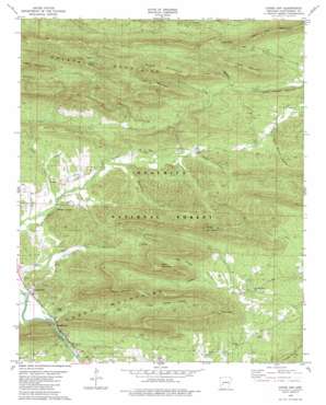
Caddo Gap Topo Map Arkansas
To zoom in, hover over the map of Caddo Gap
USGS Topo Quad 34093d5 - 1:24,000 scale
| Topo Map Name: | Caddo Gap |
| USGS Topo Quad ID: | 34093d5 |
| Print Size: | ca. 21 1/4" wide x 27" high |
| Southeast Coordinates: | 34.375° N latitude / 93.5° W longitude |
| Map Center Coordinates: | 34.4375° N latitude / 93.5625° W longitude |
| U.S. State: | AR |
| Filename: | o34093d5.jpg |
| Download Map JPG Image: | Caddo Gap topo map 1:24,000 scale |
| Map Type: | Topographic |
| Topo Series: | 7.5´ |
| Map Scale: | 1:24,000 |
| Source of Map Images: | United States Geological Survey (USGS) |
| Alternate Map Versions: |
Caddo Gap AR 1979, updated 1980 Download PDF Buy paper map Caddo Gap AR 2011 Download PDF Buy paper map Caddo Gap AR 2014 Download PDF Buy paper map |
| FStopo: | US Forest Service topo Caddo Gap is available: Download FStopo PDF Download FStopo TIF |
1:24,000 Topo Quads surrounding Caddo Gap
> Back to 34093a1 at 1:100,000 scale
> Back to 34092a1 at 1:250,000 scale
> Back to U.S. Topo Maps home
Caddo Gap topo map: Gazetteer
Caddo Gap: Gaps
Caddo Gap elevation 194m 636′Logan Gap elevation 348m 1141′
Caddo Gap: Parks
Collier Spring Recreation Site elevation 356m 1167′Crystal Mountain Scenic Area elevation 354m 1161′
Caddo Gap: Populated Places
Caddo Gap elevation 191m 626′Ophir elevation 218m 715′
Plata elevation 248m 813′
Caddo Gap: Post Offices
Caddo Gap Post Office elevation 191m 626′Caddo Gap: Ranges
Crystal Mountains elevation 438m 1437′Caddo Gap: Reservoirs
Sylvan Lake (historical) elevation 194m 636′Caddo Gap: Ridges
Crystal Mountains elevation 438m 1437′Smith Mountain elevation 302m 990′
Caddo Gap: Springs
Buttermilk Springs elevation 204m 669′Collier Spring elevation 357m 1171′
Strawn Springs elevation 204m 669′
Caddo Gap: Streams
Gap Creek elevation 185m 606′Rattlesnake Creek elevation 234m 767′
Rattlesnake Creek elevation 223m 731′
Rough Creek elevation 248m 813′
Smith Creek elevation 202m 662′
Wilson Creek elevation 274m 898′
Caddo Gap: Summits
Bear Mountain elevation 503m 1650′Fork Mountain elevation 459m 1505′
High Peak elevation 553m 1814′
Locust Mountain elevation 437m 1433′
Logan Gap Mountain elevation 418m 1371′
Mazarn Mountain elevation 480m 1574′
Nelson Mountain elevation 445m 1459′
Sharp Top Mountain elevation 454m 1489′
Strawn Mountain elevation 481m 1578′
Wheeler Mountain elevation 522m 1712′
White Mountain elevation 467m 1532′
Caddo Gap: Valleys
Bear Water Hollow elevation 251m 823′Jones Valley elevation 185m 606′
Pole Branch Hollow elevation 250m 820′
Caddo Gap digital topo map on disk
Buy this Caddo Gap topo map showing relief, roads, GPS coordinates and other geographical features, as a high-resolution digital map file on DVD:


