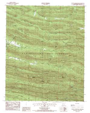
Nichols Nountain Topo Map Arkansas
To zoom in, hover over the map of Nichols Nountain
USGS Topo Quad 34094d1 - 1:24,000 scale
| Topo Map Name: | Nichols Nountain |
| USGS Topo Quad ID: | 34094d1 |
| Print Size: | ca. 21 1/4" wide x 27" high |
| Southeast Coordinates: | 34.375° N latitude / 94° W longitude |
| Map Center Coordinates: | 34.4375° N latitude / 94.0625° W longitude |
| U.S. State: | AR |
| Filename: | o34094d1.jpg |
| Download Map JPG Image: | Nichols Nountain topo map 1:24,000 scale |
| Map Type: | Topographic |
| Topo Series: | 7.5´ |
| Map Scale: | 1:24,000 |
| Source of Map Images: | United States Geological Survey (USGS) |
| Alternate Map Versions: |
Nichols Mountain AR 1986, updated 1986 Download PDF Buy paper map Nichols Mountain AR 1986, updated 1986 Download PDF Buy paper map Nichols Mountain AR 2011 Download PDF Buy paper map Nichols Mountain AR 2014 Download PDF Buy paper map |
| FStopo: | US Forest Service topo Nichols Mountain is available: Download FStopo PDF Download FStopo TIF |
1:24,000 Topo Quads surrounding Nichols Nountain
> Back to 34094a1 at 1:100,000 scale
> Back to 34094a1 at 1:250,000 scale
> Back to U.S. Topo Maps home
Nichols Nountain topo map: Gazetteer
Nichols Nountain: Gaps
Dicks Gap elevation 490m 1607′Sugartree Gap elevation 511m 1676′
Three Oak Gap elevation 486m 1594′
Wolf Pen Gap elevation 423m 1387′
Nichols Nountain: Parks
Caney Creek State Wildlife Management Area elevation 392m 1286′Nichols Nountain: Populated Places
Shady elevation 339m 1112′Nichols Nountain: Ridges
Fork Mountain elevation 579m 1899′Hanna Range elevation 566m 1856′
Porter Mountain elevation 575m 1886′
Nichols Nountain: Streams
Gap Creek elevation 323m 1059′Mine Creek elevation 328m 1076′
North Fork Saline River elevation 369m 1210′
Sulphur Creek elevation 335m 1099′
Nichols Nountain: Summits
Bear Mountain elevation 381m 1250′Blaylock Mountain elevation 658m 2158′
Buckeye Mountain elevation 692m 2270′
East Hanna Mountain elevation 687m 2253′
Katy Mountain elevation 654m 2145′
Lost Mountain elevation 681m 2234′
Nichols Mountain elevation 623m 2043′
Rattlesnake Mountain elevation 541m 1774′
Tall Peak elevation 705m 2312′
Nichols Nountain digital topo map on disk
Buy this Nichols Nountain topo map showing relief, roads, GPS coordinates and other geographical features, as a high-resolution digital map file on DVD:


