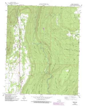
Jumbo Topo Map Oklahoma
To zoom in, hover over the map of Jumbo
USGS Topo Quad 34095d6 - 1:24,000 scale
| Topo Map Name: | Jumbo |
| USGS Topo Quad ID: | 34095d6 |
| Print Size: | ca. 21 1/4" wide x 27" high |
| Southeast Coordinates: | 34.375° N latitude / 95.625° W longitude |
| Map Center Coordinates: | 34.4375° N latitude / 95.6875° W longitude |
| U.S. State: | OK |
| Filename: | o34095d6.jpg |
| Download Map JPG Image: | Jumbo topo map 1:24,000 scale |
| Map Type: | Topographic |
| Topo Series: | 7.5´ |
| Map Scale: | 1:24,000 |
| Source of Map Images: | United States Geological Survey (USGS) |
| Alternate Map Versions: |
Jumbo OK 1957, updated 1958 Download PDF Buy paper map Jumbo OK 1957, updated 1977 Download PDF Buy paper map Jumbo OK 1957, updated 1993 Download PDF Buy paper map Jumbo OK 2009 Download PDF Buy paper map Jumbo OK 2012 Download PDF Buy paper map Jumbo OK 2016 Download PDF Buy paper map |
1:24,000 Topo Quads surrounding Jumbo
Kiowa |
Pittsburg |
Ti |
Counts |
Sardis |
Limestone Gap |
Redden |
Daisy |
Adel |
Stanley |
Lane Nw |
Lane Ne |
Jumbo |
Dunbar |
Snow |
Lane |
Farris |
Moyers |
Kosoma |
Finley |
Boswell Nw |
Darwin |
Antlers West |
Antlers East |
Rattan |
> Back to 34095a1 at 1:100,000 scale
> Back to 34094a1 at 1:250,000 scale
> Back to U.S. Topo Maps home
Jumbo topo map: Gazetteer
Jumbo: Populated Places
Jumbo elevation 191m 626′Jumbo: Streams
Caney Creek elevation 226m 741′Little Tenmile Creek elevation 177m 580′
Pole Creek elevation 201m 659′
Shorty Creek elevation 198m 649′
Silver Creek elevation 252m 826′
Spring Branch elevation 247m 810′
Spring Branch elevation 207m 679′
Jumbo: Summits
Box Springs Mountain elevation 319m 1046′Buck Creek Mountain elevation 362m 1187′
Flat Top Mountain elevation 361m 1184′
Horsehead Mountain elevation 321m 1053′
Jumbo digital topo map on disk
Buy this Jumbo topo map showing relief, roads, GPS coordinates and other geographical features, as a high-resolution digital map file on DVD:


