Whites Lake Topo Map Oklahoma
To zoom in, hover over the map of Whites Lake
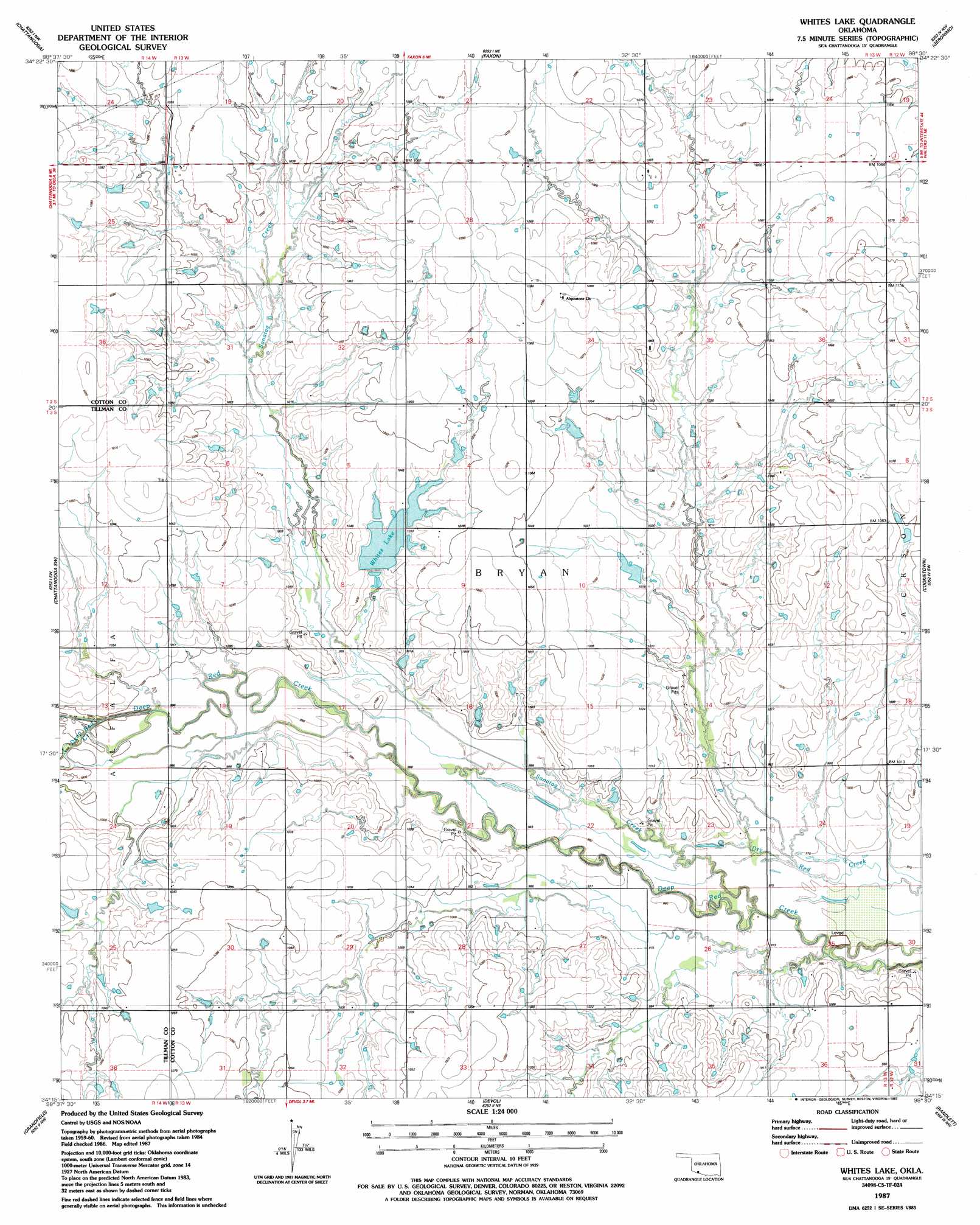
USGS Topo Quad 34098c5 - 1:24,000 scale
| Topo Map Name: | Whites Lake |
| USGS Topo Quad ID: | 34098c5 |
| Print Size: | ca. 21 1/4" wide x 27" high |
| Southeast Coordinates: | 34.25° N latitude / 98.5° W longitude |
| Map Center Coordinates: | 34.3125° N latitude / 98.5625° W longitude |
| U.S. State: | OK |
| Filename: | o34098c5.jpg |
| Download Map JPG Image: | Whites Lake topo map 1:24,000 scale |
| Map Type: | Topographic |
| Topo Series: | 7.5´ |
| Map Scale: | 1:24,000 |
| Source of Map Images: | United States Geological Survey (USGS) |
| Alternate Map Versions: |
Whites Lake OK 1987, updated 1987 Download PDF Buy paper map Whites Lake OK 2010 Download PDF Buy paper map Whites Lake OK 2012 Download PDF Buy paper map Whites Lake OK 2016 Download PDF Buy paper map |
1:24,000 Topo Quads surrounding Whites Lake
Indiahoma |
Post Oak Creek |
Taupa |
Lawton |
Ninemile Creek |
Hollister Ne |
Chattanooga |
Faxon |
Geronimo |
Walters Ne |
Hollister |
Chattanooga Sw |
Whites Lake |
Cookietown |
Walters |
Augar Creek |
Grandfield |
Devol |
Randlett |
Taylor |
Sunshine Hill |
Clara |
Burkburnett |
Thornberry |
Charlie |
> Back to 34098a1 at 1:100,000 scale
> Back to 34098a1 at 1:250,000 scale
> Back to U.S. Topo Maps home
Whites Lake topo map: Gazetteer
Whites Lake: Dams
Oknoname 031061 Dam elevation 327m 1072′Oknoname 033006 Dam elevation 312m 1023′
Whites Lake Dam elevation 297m 974′
Whites Lake: Reservoirs
Oknoname 031061 Reservoir elevation 327m 1072′Oknoname 033006 Reservoir elevation 312m 1023′
Whites Lake elevation 297m 974′
Whites Lake elevation 312m 1023′
Whites Lake: Streams
Little Deep Red Creek elevation 298m 977′Sanatag Creek elevation 296m 971′
Whites Lake digital topo map on disk
Buy this Whites Lake topo map showing relief, roads, GPS coordinates and other geographical features, as a high-resolution digital map file on DVD: