Frederick Nw Topo Map Oklahoma
To zoom in, hover over the map of Frederick Nw
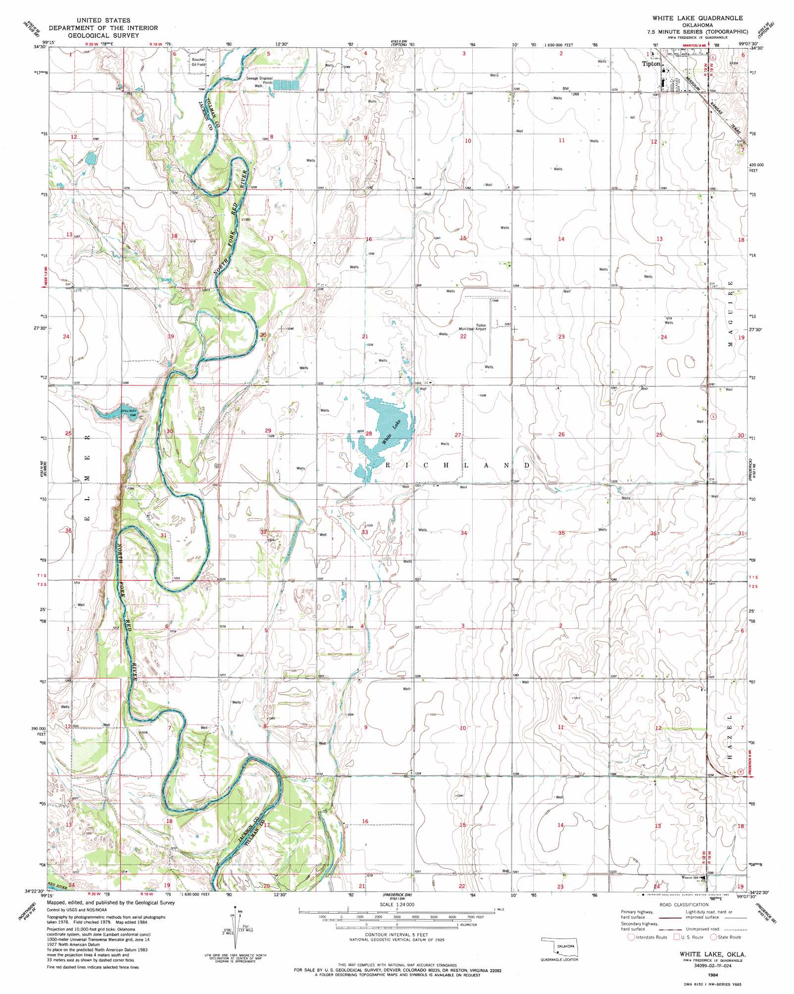
USGS Topo Quad 34099d2 - 1:24,000 scale
| Topo Map Name: | Frederick Nw |
| USGS Topo Quad ID: | 34099d2 |
| Print Size: | ca. 21 1/4" wide x 27" high |
| Southeast Coordinates: | 34.375° N latitude / 99.125° W longitude |
| Map Center Coordinates: | 34.4375° N latitude / 99.1875° W longitude |
| U.S. States: | OK, TX |
| Filename: | o34099d2.jpg |
| Download Map JPG Image: | Frederick Nw topo map 1:24,000 scale |
| Map Type: | Topographic |
| Topo Series: | 7.5´ |
| Map Scale: | 1:24,000 |
| Source of Map Images: | United States Geological Survey (USGS) |
| Alternate Map Versions: |
White Lake OK 1984, updated 1985 Download PDF Buy paper map White Lake OK 2010 Download PDF Buy paper map White Lake OK 2012 Download PDF Buy paper map White Lake OK 2016 Download PDF Buy paper map |
1:24,000 Topo Quads surrounding Frederick Nw
Martha |
Altus |
Headrick |
Long Mountain |
Snyder |
Olustee |
Altus Se |
Tipton |
Tipton Se |
Manitou |
Ayers Island |
Elmer |
Frederick Nw |
Frederick |
Hollister Nw |
Odell |
Northside |
Frederick Sw |
Frederick Se |
Hackberry Flat |
Tolbert |
Vernon |
Oklaunion |
Davidson |
Cowboy Springs |
> Back to 34099a1 at 1:100,000 scale
> Back to 34098a1 at 1:250,000 scale
> Back to U.S. Topo Maps home
Frederick Nw topo map: Gazetteer
Frederick Nw: Airports
Pinsons Cottonpatch Airport elevation 394m 1292′Tipton Municipal Airport elevation 380m 1246′
Frederick Nw: Dams
Wilson 115 Dam elevation 381m 1250′Frederick Nw: Lakes
White Lake elevation 374m 1227′Frederick Nw digital topo map on disk
Buy this Frederick Nw topo map showing relief, roads, GPS coordinates and other geographical features, as a high-resolution digital map file on DVD: