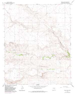
West Camp Topo Map New Mexico
To zoom in, hover over the map of West Camp
USGS Topo Quad 34104c4 - 1:24,000 scale
| Topo Map Name: | West Camp |
| USGS Topo Quad ID: | 34104c4 |
| Print Size: | ca. 21 1/4" wide x 27" high |
| Southeast Coordinates: | 34.25° N latitude / 104.375° W longitude |
| Map Center Coordinates: | 34.3125° N latitude / 104.4375° W longitude |
| U.S. State: | NM |
| Filename: | o34104c4.jpg |
| Download Map JPG Image: | West Camp topo map 1:24,000 scale |
| Map Type: | Topographic |
| Topo Series: | 7.5´ |
| Map Scale: | 1:24,000 |
| Source of Map Images: | United States Geological Survey (USGS) |
| Alternate Map Versions: |
West Camp NM 1966, updated 1968 Download PDF Buy paper map West Camp NM 1966, updated 1982 Download PDF Buy paper map West Camp NM 2010 Download PDF Buy paper map West Camp NM 2013 Download PDF Buy paper map West Camp NM 2017 Download PDF Buy paper map |
1:24,000 Topo Quads surrounding West Camp
> Back to 34104a1 at 1:100,000 scale
> Back to 34104a1 at 1:250,000 scale
> Back to U.S. Topo Maps home
West Camp topo map: Gazetteer
West Camp: Valleys
Guana Draw elevation 1256m 4120′West Camp: Wells
10070 Water Well elevation 1335m 4379′10071 Water Well elevation 1312m 4304′
10072 Water Well elevation 1349m 4425′
10073 Water Well elevation 1337m 4386′
10074 Water Well elevation 1326m 4350′
10075 Water Well elevation 1350m 4429′
10076 Water Well elevation 1306m 4284′
10077 Water Well elevation 1326m 4350′
10078 Water Well elevation 1324m 4343′
10079 Water Well elevation 1318m 4324′
10080 Water Well elevation 1301m 4268′
10159 Water Well elevation 1371m 4498′
10160 Water Well elevation 1339m 4393′
10161 Water Well elevation 1344m 4409′
10162 Water Well elevation 1344m 4409′
10833 Water Well elevation 1369m 4491′
10874 Water Well elevation 1357m 4452′
10875 Water Well elevation 1308m 4291′
10878 Water Well elevation 1363m 4471′
10879 Water Well elevation 1328m 4356′
West Camp digital topo map on disk
Buy this West Camp topo map showing relief, roads, GPS coordinates and other geographical features, as a high-resolution digital map file on DVD:


