Pino Mountain Topo Map New Mexico
To zoom in, hover over the map of Pino Mountain
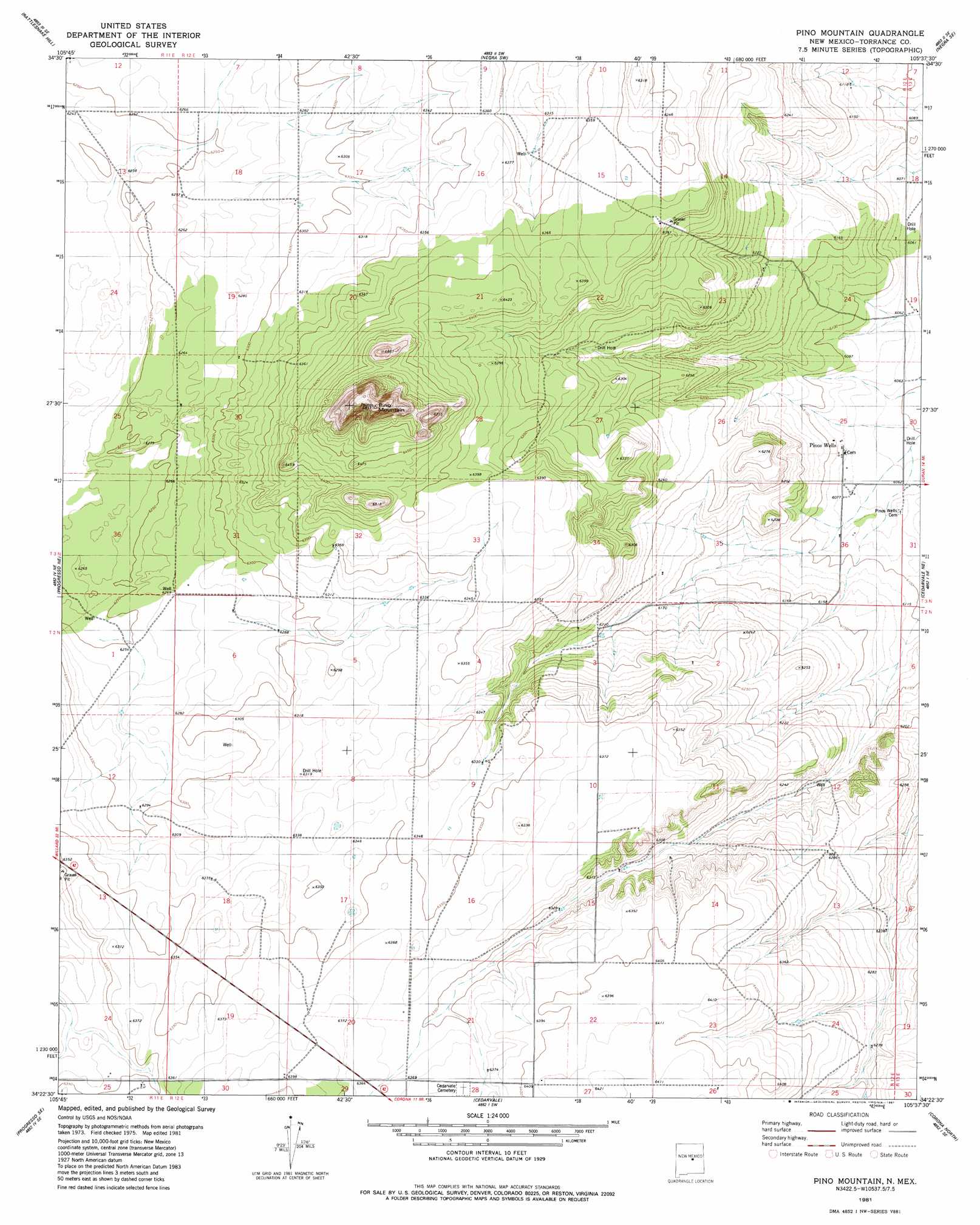
USGS Topo Quad 34105d6 - 1:24,000 scale
| Topo Map Name: | Pino Mountain |
| USGS Topo Quad ID: | 34105d6 |
| Print Size: | ca. 21 1/4" wide x 27" high |
| Southeast Coordinates: | 34.375° N latitude / 105.625° W longitude |
| Map Center Coordinates: | 34.4375° N latitude / 105.6875° W longitude |
| U.S. State: | NM |
| Filename: | o34105d6.jpg |
| Download Map JPG Image: | Pino Mountain topo map 1:24,000 scale |
| Map Type: | Topographic |
| Topo Series: | 7.5´ |
| Map Scale: | 1:24,000 |
| Source of Map Images: | United States Geological Survey (USGS) |
| Alternate Map Versions: |
Pino Mountain NM 1981, updated 1981 Download PDF Buy paper map Pino Mountain NM 2010 Download PDF Buy paper map Pino Mountain NM 2013 Download PDF Buy paper map Pino Mountain NM 2017 Download PDF Buy paper map |
1:24,000 Topo Quads surrounding Pino Mountain
Laguna Del Perro North |
Lucy |
Pedernal |
Negra |
Encino |
Laguna Del Perro South |
Rattlesnake Hill |
Negra Sw |
Negra Se |
Dunlap Ranch |
Progresso |
Progresso Ne |
Pino Mountain |
Cedarvale Ne |
Duran |
Progresso Sw |
Progresso Se |
Cedarvale |
Corono North |
Camaleon Draw West |
Claunch |
Pajaro Canyon |
Rough Mountain |
Corona South |
Gallo Spring Canyon |
> Back to 34105a1 at 1:100,000 scale
> Back to 34104a1 at 1:250,000 scale
> Back to U.S. Topo Maps home
Pino Mountain digital topo map on disk
Buy this Pino Mountain topo map showing relief, roads, GPS coordinates and other geographical features, as a high-resolution digital map file on DVD: