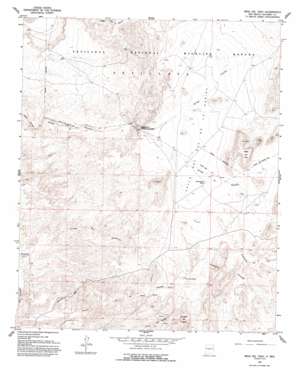
Mesa Del Yeso Topo Map New Mexico
To zoom in, hover over the map of Mesa Del Yeso
USGS Topo Quad 34106b7 - 1:24,000 scale
| Topo Map Name: | Mesa Del Yeso |
| USGS Topo Quad ID: | 34106b7 |
| Print Size: | ca. 21 1/4" wide x 27" high |
| Southeast Coordinates: | 34.125° N latitude / 106.75° W longitude |
| Map Center Coordinates: | 34.1875° N latitude / 106.8125° W longitude |
| U.S. State: | NM |
| Filename: | o34106b7.jpg |
| Download Map JPG Image: | Mesa Del Yeso topo map 1:24,000 scale |
| Map Type: | Topographic |
| Topo Series: | 7.5´ |
| Map Scale: | 1:24,000 |
| Source of Map Images: | United States Geological Survey (USGS) |
| Alternate Map Versions: |
Mesa Del Yeso NM 1959, updated 1960 Download PDF Buy paper map Mesa Del Yeso NM 1959, updated 1974 Download PDF Buy paper map Mesa Del Yeso NM 1959, updated 1993 Download PDF Buy paper map Mesa Del Yeso NM 2010 Download PDF Buy paper map Mesa Del Yeso NM 2013 Download PDF Buy paper map Mesa Del Yeso NM 2017 Download PDF Buy paper map |
1:24,000 Topo Quads surrounding Mesa Del Yeso
> Back to 34106a1 at 1:100,000 scale
> Back to 34106a1 at 1:250,000 scale
> Back to U.S. Topo Maps home
Mesa Del Yeso topo map: Gazetteer
Mesa Del Yeso: Areas
Valle Del Ojo De La Parida elevation 1543m 5062′Mesa Del Yeso: Gaps
Puertecito of Bowling Green elevation 1517m 4977′Mesa Del Yeso: Mines
Elaina elevation 1657m 5436′Elaine Barite Prospect elevation 1564m 5131′
Mesa Del Yeso: Parks
Veranito Wilderness Study Area elevation 1499m 4917′Mesa Del Yeso: Springs
Ojo de la Parida elevation 1549m 5082′Mesa Del Yeso: Streams
Arroyo Milagro elevation 1571m 5154′Arroyo Varrido elevation 1518m 4980′
Mesa Del Yeso: Summits
Cerrillos del Coyote elevation 1679m 5508′Johnson Hill elevation 1508m 4947′
Mesa del Yeso elevation 1683m 5521′
Mesa Del Yeso: Valleys
Cañoncito Colorado elevation 1561m 5121′Cañoncito de la Uva elevation 1561m 5121′
Mesa Del Yeso: Wells
10030 Water Well elevation 1570m 5150′Mesa Del Yeso digital topo map on disk
Buy this Mesa Del Yeso topo map showing relief, roads, GPS coordinates and other geographical features, as a high-resolution digital map file on DVD:


