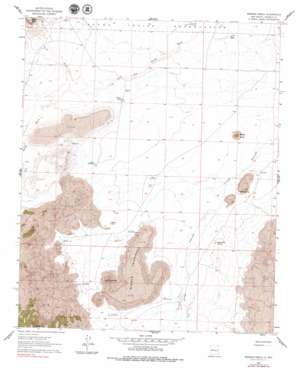
Marmon Ranch Topo Map New Mexico
To zoom in, hover over the map of Marmon Ranch
USGS Topo Quad 34107g4 - 1:24,000 scale
| Topo Map Name: | Marmon Ranch |
| USGS Topo Quad ID: | 34107g4 |
| Print Size: | ca. 21 1/4" wide x 27" high |
| Southeast Coordinates: | 34.75° N latitude / 107.375° W longitude |
| Map Center Coordinates: | 34.8125° N latitude / 107.4375° W longitude |
| U.S. State: | NM |
| Filename: | o34107g4.jpg |
| Download Map JPG Image: | Marmon Ranch topo map 1:24,000 scale |
| Map Type: | Topographic |
| Topo Series: | 7.5´ |
| Map Scale: | 1:24,000 |
| Source of Map Images: | United States Geological Survey (USGS) |
| Alternate Map Versions: |
Marmon Ranch NM 1961, updated 1963 Download PDF Buy paper map Marmon Ranch NM 1961, updated 1978 Download PDF Buy paper map Marmon Ranch NM 2010 Download PDF Buy paper map Marmon Ranch NM 2013 Download PDF Buy paper map Marmon Ranch NM 2017 Download PDF Buy paper map |
1:24,000 Topo Quads surrounding Marmon Ranch
> Back to 34107e1 at 1:100,000 scale
> Back to 34106a1 at 1:250,000 scale
> Back to U.S. Topo Maps home
Marmon Ranch topo map: Gazetteer
Marmon Ranch: Areas
Middle Tsid-weza elevation 1835m 6020′Marmon Ranch: Dams
Badger Dam elevation 1764m 5787′Badger Detention Dam elevation 1764m 5787′
Lucy W Detention Dam elevation 1793m 5882′
Seis-wilson Detention Dam Number 1 elevation 1797m 5895′
Seis-wilson Detention Dam Number 2 elevation 1772m 5813′
Marmon Ranch: Mines
Seis-wilson Dike and Pit Number 2 elevation 1784m 5853′Marmon Ranch: Populated Places
Crane Place elevation 1769m 5803′Romero Place elevation 1756m 5761′
Marmon Ranch: Reservoirs
Martin Tank elevation 1778m 5833′Marmon Ranch: Springs
Alkali Spring elevation 1768m 5800′Eddlwmann Spring elevation 1775m 5823′
Marmon Ranch: Streams
Cañada Ancha elevation 1768m 5800′Petoch Wash elevation 1793m 5882′
Marmon Ranch: Summits
Badger Butte elevation 1842m 6043′Mush Mountain elevation 1882m 6174′
Petoch Butte elevation 2102m 6896′
Marmon Ranch: Valleys
Cold Canyon elevation 1784m 5853′Marmon Ranch: Wells
Albert HMS Water Well elevation 1775m 5823′Badger Water Well elevation 1763m 5784′
Hiyi Water Well elevation 1776m 5826′
Marmon HQ Water Well elevation 1784m 5853′
Romero PLC Water Well elevation 1756m 5761′
Marmon Ranch digital topo map on disk
Buy this Marmon Ranch topo map showing relief, roads, GPS coordinates and other geographical features, as a high-resolution digital map file on DVD:


