Cane Springs Mountain Topo Map Arizona
To zoom in, hover over the map of Cane Springs Mountain
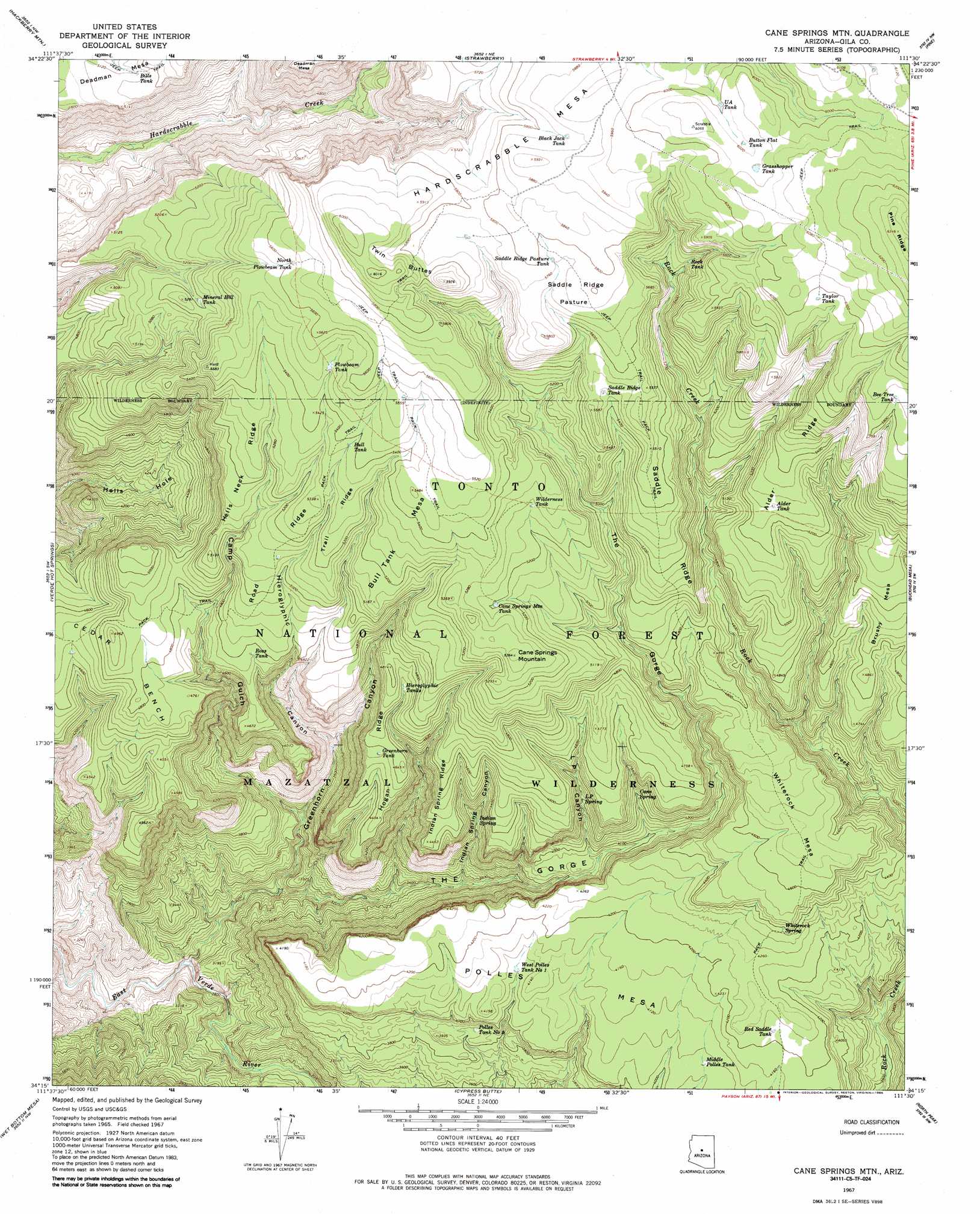
USGS Topo Quad 34111c5 - 1:24,000 scale
| Topo Map Name: | Cane Springs Mountain |
| USGS Topo Quad ID: | 34111c5 |
| Print Size: | ca. 21 1/4" wide x 27" high |
| Southeast Coordinates: | 34.25° N latitude / 111.5° W longitude |
| Map Center Coordinates: | 34.3125° N latitude / 111.5625° W longitude |
| U.S. State: | AZ |
| Filename: | o34111c5.jpg |
| Download Map JPG Image: | Cane Springs Mountain topo map 1:24,000 scale |
| Map Type: | Topographic |
| Topo Series: | 7.5´ |
| Map Scale: | 1:24,000 |
| Source of Map Images: | United States Geological Survey (USGS) |
| Alternate Map Versions: |
Cane Springs Mtn AZ 1967, updated 1968 Download PDF Buy paper map Cane Springs Mountain AZ 1967, updated 1985 Download PDF Buy paper map Cane Springs Mountain AZ 1985, updated 1985 Download PDF Buy paper map Cane Springs Mountain AZ 2004, updated 2006 Download PDF Buy paper map Cane Springs Mountain AZ 2011 Download PDF Buy paper map Cane Springs Mountain AZ 2014 Download PDF Buy paper map |
| FStopo: | US Forest Service topo Cane Springs Mountain is available: Download FStopo PDF Download FStopo TIF |
1:24,000 Topo Quads surrounding Cane Springs Mountain
Camp Verde |
Walker Mountain |
Buckhorn Mountain |
Calloway Butte |
Long Valley |
Horner Mountain |
Hackberry Mountain |
Strawberry |
Pine |
Kehl Ridge |
Tule Mesa |
Verde Hot Springs |
Cane Springs Mountain |
Buckhead Mesa |
Payson North |
Bloody Basin |
Wet Bottom Mesa |
Cypress Butte |
North Peak |
Payson South |
Rover Peak |
Chalk Mountain |
Table Mountain |
Mazatzal Peak |
Gisela |
> Back to 34111a1 at 1:100,000 scale
> Back to 34110a1 at 1:250,000 scale
> Back to U.S. Topo Maps home
Cane Springs Mountain topo map: Gazetteer
Cane Springs Mountain: Benches
Cedar Bench elevation 1424m 4671′Cane Springs Mountain: Cliffs
Mogollon Rim elevation 965m 3166′Cane Springs Mountain: Flats
Saddle Ridge Pasture elevation 1760m 5774′Cane Springs Mountain: Reservoirs
Alder Tank elevation 1608m 5275′Bee Tree Tank elevation 1782m 5846′
Bills Tank elevation 1566m 5137′
Black Jack Tank elevation 1785m 5856′
Bull Tank elevation 1640m 5380′
Button Flat Tank elevation 1835m 6020′
Cane Springs Mountain Tank elevation 1585m 5200′
Grasshopper Tank elevation 1839m 6033′
Greenhorn Tank elevation 1396m 4580′
Hieroglyphic Tanks elevation 1418m 4652′
Middle Polles Tank elevation 1239m 4064′
Mineral Hill Tank elevation 1584m 5196′
North Tank elevation 1710m 5610′
Plowbeam Tank elevation 1662m 5452′
Polles Tank elevation 1164m 3818′
Red Saddle Tank elevation 1287m 4222′
Rock Tank elevation 1678m 5505′
Ross Tank elevation 1454m 4770′
Saddle Ridge Pasture Tank elevation 1760m 5774′
Saddle Ridge Tank elevation 1670m 5479′
Squaw Basin Tank elevation 1369m 4491′
Taylor Tank elevation 1824m 5984′
U A Tank elevation 1829m 6000′
West Polles Tank elevation 1247m 4091′
Wilderness Tank elevation 1607m 5272′
Cane Springs Mountain: Ridges
Alder Ridge elevation 1650m 5413′Hells Neck Ridge elevation 1607m 5272′
Hogan Ridge elevation 1383m 4537′
Indian Spring Ridge elevation 1406m 4612′
Road Ridge elevation 1560m 5118′
Saddle Ridge elevation 1632m 5354′
Trail Ridge elevation 1609m 5278′
Cane Springs Mountain: Springs
Big Spring elevation 1152m 3779′Cane Spring elevation 1280m 4199′
Indian Spring elevation 1242m 4074′
L P Spring elevation 1287m 4222′
Whiterock Spring elevation 1346m 4416′
Cane Springs Mountain: Summits
Brushy Mesa elevation 1478m 4849′Bull Tank Mesa elevation 1670m 5479′
Cane Springs Mountain elevation 1635m 5364′
Hardscrabble Mesa elevation 1768m 5800′
Polles Mesa elevation 1314m 4311′
Twin Buttes elevation 1830m 6003′
Whiterock Mesa elevation 1421m 4662′
Cane Springs Mountain: Valleys
Camp Gulch elevation 1008m 3307′Greenhorn Canyon elevation 918m 3011′
Hieroglyphic Canyon elevation 1113m 3651′
Indian Spring Canyon elevation 1067m 3500′
L P Canyon elevation 1181m 3874′
The Gorge elevation 841m 2759′
Cane Springs Mountain digital topo map on disk
Buy this Cane Springs Mountain topo map showing relief, roads, GPS coordinates and other geographical features, as a high-resolution digital map file on DVD: