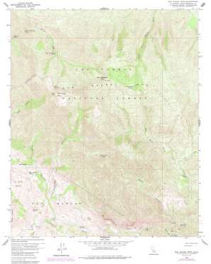
San Rafael Mountain Topo Map California
To zoom in, hover over the map of San Rafael Mountain
USGS Topo Quad 34119f7 - 1:24,000 scale
| Topo Map Name: | San Rafael Mountain |
| USGS Topo Quad ID: | 34119f7 |
| Print Size: | ca. 21 1/4" wide x 27" high |
| Southeast Coordinates: | 34.625° N latitude / 119.75° W longitude |
| Map Center Coordinates: | 34.6875° N latitude / 119.8125° W longitude |
| U.S. State: | CA |
| Filename: | o34119f7.jpg |
| Download Map JPG Image: | San Rafael Mountain topo map 1:24,000 scale |
| Map Type: | Topographic |
| Topo Series: | 7.5´ |
| Map Scale: | 1:24,000 |
| Source of Map Images: | United States Geological Survey (USGS) |
| Alternate Map Versions: |
San Rafael Mtn CA 1959, updated 1960 Download PDF Buy paper map San Rafael Mtn CA 1959, updated 1977 Download PDF Buy paper map San Rafael Mtn CA 1959, updated 1984 Download PDF Buy paper map San Rafael Mtn CA 1959, updated 1989 Download PDF Buy paper map San Rafael Mountain CA 1995, updated 2000 Download PDF Buy paper map San Rafael Mountain CA 2012 Download PDF Buy paper map San Rafael Mountain CA 2015 Download PDF Buy paper map |
| FStopo: | US Forest Service topo San Rafael Mountain is available: Download FStopo PDF Download FStopo TIF |
1:24,000 Topo Quads surrounding San Rafael Mountain
> Back to 34119e1 at 1:100,000 scale
> Back to 34118a1 at 1:250,000 scale
> Back to U.S. Topo Maps home
San Rafael Mountain topo map: Gazetteer
San Rafael Mountain: Basins
La Jolla Basin elevation 545m 1788′San Rafael Mountain: Forests
Los Padres National Forest elevation 1018m 3339′San Rafael Mountain: Ranges
San Rafael Mountains elevation 2005m 6578′San Rafael Mountain: Springs
Cold Spring elevation 1707m 5600′Demesio Spring elevation 475m 1558′
Grand Spring elevation 862m 2828′
Live Oak Spring elevation 487m 1597′
McKinley Spring elevation 1749m 5738′
Mine Canyon Spring elevation 766m 2513′
Mud Spring elevation 571m 1873′
San Rafael Mountain: Streams
Coche Creek elevation 766m 2513′East Fork Santa Cruz Creek elevation 667m 2188′
West Fork Santa Cruz Creek elevation 652m 2139′
San Rafael Mountain: Summits
McKinley Mountain elevation 1887m 6190′San Rafael Mountain elevation 1973m 6473′
Santa Cruz Peak elevation 1687m 5534′
San Rafael Mountain: Trails
Santa Cruz Trail elevation 856m 2808′San Rafael Mountain: Valleys
Black Canyon elevation 583m 1912′Mine Canyon elevation 500m 1640′
Peachtree Canyon elevation 366m 1200′
San Rafael Mountain digital topo map on disk
Buy this San Rafael Mountain topo map showing relief, roads, GPS coordinates and other geographical features, as a high-resolution digital map file on DVD:


