Middletown Anchorage Topo Map North Carolina
To zoom in, hover over the map of Middletown Anchorage
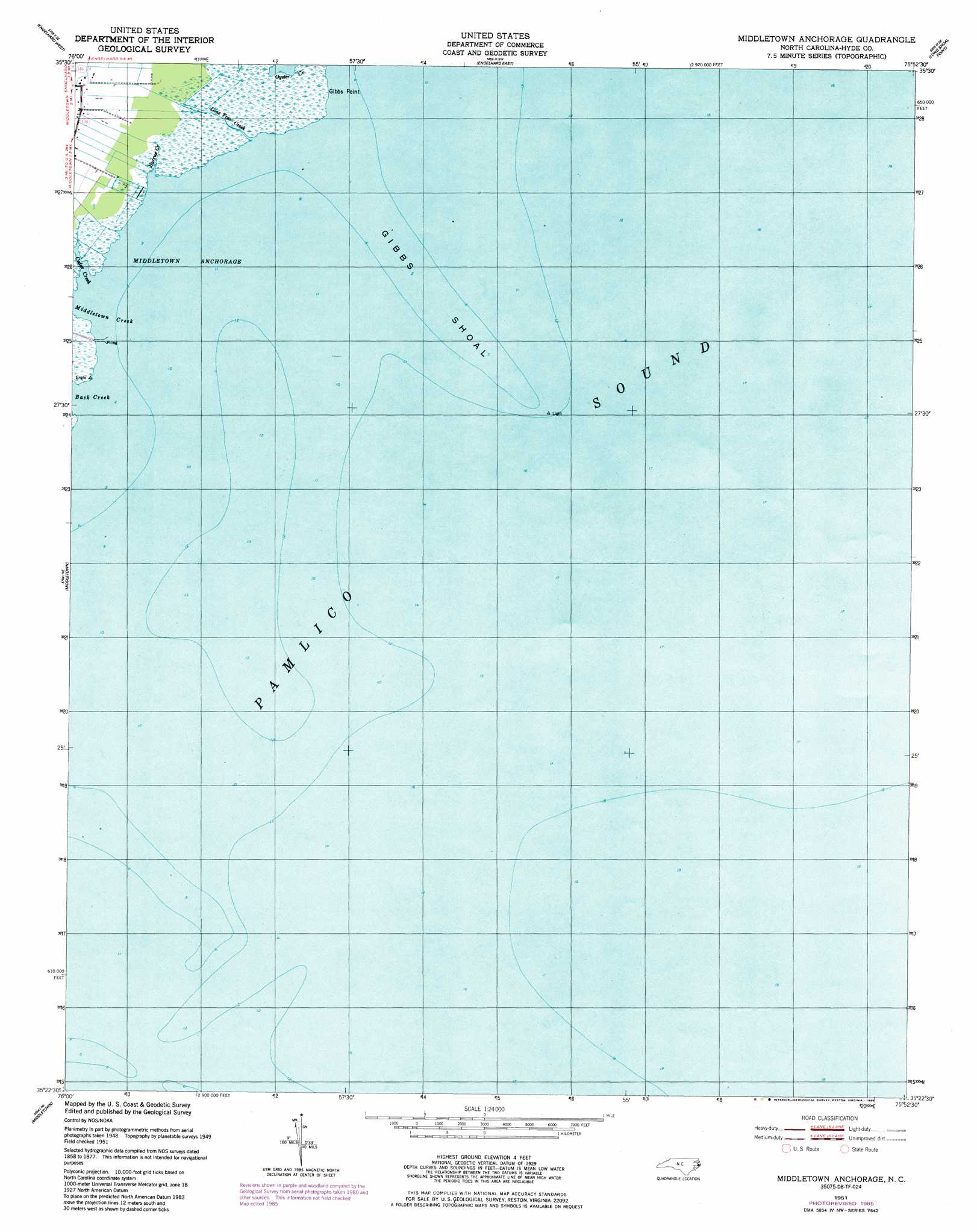
USGS Topo Quad 35075d8 - 1:24,000 scale
| Topo Map Name: | Middletown Anchorage |
| USGS Topo Quad ID: | 35075d8 |
| Print Size: | ca. 21 1/4" wide x 27" high |
| Southeast Coordinates: | 35.375° N latitude / 75.875° W longitude |
| Map Center Coordinates: | 35.4375° N latitude / 75.9375° W longitude |
| U.S. State: | NC |
| Filename: | o35075d8.jpg |
| Download Map JPG Image: | Middletown Anchorage topo map 1:24,000 scale |
| Map Type: | Topographic |
| Topo Series: | 7.5´ |
| Map Scale: | 1:24,000 |
| Source of Map Images: | United States Geological Survey (USGS) |
| Alternate Map Versions: |
Middletown Anchorage NC 1951, updated 1952 Download PDF Buy paper map Middletown Anchorage NC 1951, updated 1985 Download PDF Buy paper map Middletown Anchorage NC 2002, updated 2002 Download PDF Buy paper map Middletown Anchorage NC 2011 Download PDF Buy paper map Middletown Anchorage NC 2013 Download PDF Buy paper map Middletown Anchorage NC 2016 Download PDF Buy paper map |
1:24,000 Topo Quads surrounding Middletown Anchorage
Fairfield Nw |
Fairfield Ne |
Engelhard Nw |
Engelhard Ne |
Stumpy Point |
Fairfield |
Engelhard West |
Engelhard East |
Long Shoal Point |
|
New Holland |
Middletown Anchorage |
|||
Bluff Point |
Middletown |
|||
Howard Reef |
Green Island |
Hatteras |
> Back to 35075a1 at 1:100,000 scale
> Back to 35074a1 at 1:250,000 scale
> Back to U.S. Topo Maps home
Middletown Anchorage topo map: Gazetteer
Middletown Anchorage: Bars
Gibbs Shoal elevation 0m 0′Middletown Anchorage: Bays
Back Creek elevation 0m 0′Middletown Anchorage elevation 0m 0′
Middletown Anchorage: Capes
Gibbs Point elevation 0m 0′Middletown Anchorage: Streams
Burrus Creek elevation 0m 0′Cedar Creek elevation 0m 0′
Lone Tree Creek elevation 0m 0′
Middletown Creek elevation 0m 0′
Middletown Anchorage digital topo map on disk
Buy this Middletown Anchorage topo map showing relief, roads, GPS coordinates and other geographical features, as a high-resolution digital map file on DVD:
Atlantic Coast (NY, NJ, PA, DE, MD, VA, NC)
Buy digital topo maps: Atlantic Coast (NY, NJ, PA, DE, MD, VA, NC)
 map DVD")