Juno Topo Map Tennessee
To zoom in, hover over the map of Juno
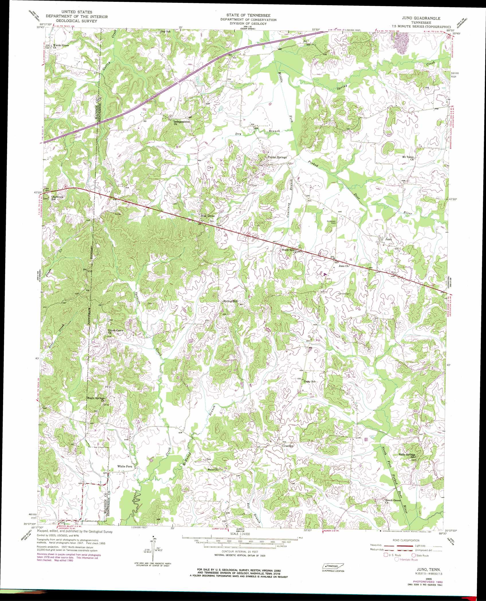
USGS Topo Quad 35088f5 - 1:24,000 scale
| Topo Map Name: | Juno |
| USGS Topo Quad ID: | 35088f5 |
| Print Size: | ca. 21 1/4" wide x 27" high |
| Southeast Coordinates: | 35.625° N latitude / 88.5° W longitude |
| Map Center Coordinates: | 35.6875° N latitude / 88.5625° W longitude |
| U.S. State: | TN |
| Filename: | o35088f5.jpg |
| Download Map JPG Image: | Juno topo map 1:24,000 scale |
| Map Type: | Topographic |
| Topo Series: | 7.5´ |
| Map Scale: | 1:24,000 |
| Source of Map Images: | United States Geological Survey (USGS) |
| Alternate Map Versions: |
Juno TN 1955, updated 1956 Download PDF Buy paper map Juno TN 1955, updated 1981 Download PDF Buy paper map Juno TN 2010 Download PDF Buy paper map Juno TN 2013 Download PDF Buy paper map Juno TN 2016 Download PDF Buy paper map |
1:24,000 Topo Quads surrounding Juno
Milan |
Atwood |
Mclemoresville |
Palmer Shelter |
Buena Vista |
Medina |
Spring Creek |
Cedar Grove |
Clarksburg |
Yuma |
Jackson North |
Claybrook |
Juno |
Lexington |
Chesterfield |
Jackson South |
Beech Bluff |
Luray |
Life |
Reagan |
Medon |
Henderson |
Jacks Creek |
Enville |
Sardis |
> Back to 35088e1 at 1:100,000 scale
> Back to 35088a1 at 1:250,000 scale
> Back to U.S. Topo Maps home
Juno topo map: Gazetteer
Juno: Populated Places
Atkins (historical) elevation 156m 511′Blue Goose elevation 169m 554′
Crucifer elevation 150m 492′
Independence elevation 181m 593′
Juno elevation 147m 482′
Poplar Springs elevation 151m 495′
Spring Hill elevation 167m 547′
White Fern elevation 128m 419′
Juno: Post Offices
Atkins Post Office (historical) elevation 155m 508′Juno Post Office (historical) elevation 149m 488′
Juno: Streams
Courtney Branch elevation 131m 429′Dry Branch elevation 131m 429′
McHaney Branch elevation 125m 410′
Meals Creek elevation 138m 452′
Spring Creek elevation 131m 429′
Juno digital topo map on disk
Buy this Juno topo map showing relief, roads, GPS coordinates and other geographical features, as a high-resolution digital map file on DVD: