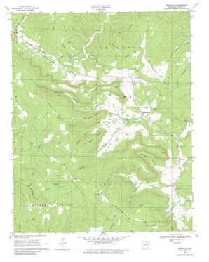
Marcella Topo Map Arkansas
To zoom in, hover over the map of Marcella
USGS Topo Quad 35091g8 - 1:24,000 scale
| Topo Map Name: | Marcella |
| USGS Topo Quad ID: | 35091g8 |
| Print Size: | ca. 21 1/4" wide x 27" high |
| Southeast Coordinates: | 35.75° N latitude / 91.875° W longitude |
| Map Center Coordinates: | 35.8125° N latitude / 91.9375° W longitude |
| U.S. State: | AR |
| Filename: | o35091g8.jpg |
| Download Map JPG Image: | Marcella topo map 1:24,000 scale |
| Map Type: | Topographic |
| Topo Series: | 7.5´ |
| Map Scale: | 1:24,000 |
| Source of Map Images: | United States Geological Survey (USGS) |
| Alternate Map Versions: |
Marcella AR 1969, updated 1971 Download PDF Buy paper map Marcella AR 1969, updated 1981 Download PDF Buy paper map Marcella AR 2011 Download PDF Buy paper map Marcella AR 2014 Download PDF Buy paper map |
1:24,000 Topo Quads surrounding Marcella
> Back to 35091e1 at 1:100,000 scale
> Back to 35090a1 at 1:250,000 scale
> Back to U.S. Topo Maps home
Marcella topo map: Gazetteer
Marcella: Cliffs
Fortune Point elevation 370m 1213′Logan Point elevation 301m 987′
McGee Point elevation 244m 800′
Taylor Point elevation 335m 1099′
Marcella: Dams
J I Davis Lake Dam elevation 177m 580′Marcella: Populated Places
Bluetip (historical) elevation 383m 1256′Chalybeate Springs elevation 406m 1332′
Kahoka (historical) elevation 367m 1204′
Marcella elevation 127m 416′
Pleasant Grove elevation 144m 472′
Saint James elevation 176m 577′
Marcella: Post Offices
Marcella Post Office elevation 126m 413′Pleasant Grove Post Office elevation 144m 472′
Marcella: Reservoirs
Davis Lake elevation 177m 580′Marcella: Ridges
Tuttle Ridge elevation 384m 1259′Marcella: Springs
Chalybeate Springs elevation 386m 1266′Marcella: Streams
Alder Creek elevation 87m 285′Chalybeate Spring Creek elevation 281m 921′
Cookfield Branch elevation 134m 439′
Kirkland Creek elevation 89m 291′
Knights Cove Creek elevation 137m 449′
Massey Creek elevation 100m 328′
Steam Mill Branch elevation 126m 413′
Marcella: Summits
Burton Hill elevation 209m 685′Cave Point elevation 321m 1053′
Davis Mountain elevation 357m 1171′
Miller Mountain elevation 388m 1272′
Mundy Point elevation 319m 1046′
Pine Hill elevation 245m 803′
Pruitt Point elevation 239m 784′
Tater Hill elevation 221m 725′
Marcella: Valleys
Conditt Hollow elevation 109m 357′Dry Hollow elevation 111m 364′
Foster Hollow elevation 136m 446′
Haney Hollow elevation 144m 472′
Hub Chute Hollow elevation 123m 403′
Hurricane Hollow elevation 148m 485′
Knights Cove elevation 178m 583′
Mill Hollow elevation 121m 396′
Owl Hollow elevation 123m 403′
Marcella digital topo map on disk
Buy this Marcella topo map showing relief, roads, GPS coordinates and other geographical features, as a high-resolution digital map file on DVD:


