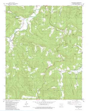
Parthenon Topo Map Arkansas
To zoom in, hover over the map of Parthenon
USGS Topo Quad 35093h2 - 1:24,000 scale
| Topo Map Name: | Parthenon |
| USGS Topo Quad ID: | 35093h2 |
| Print Size: | ca. 21 1/4" wide x 27" high |
| Southeast Coordinates: | 35.875° N latitude / 93.125° W longitude |
| Map Center Coordinates: | 35.9375° N latitude / 93.1875° W longitude |
| U.S. State: | AR |
| Filename: | o35093h2.jpg |
| Download Map JPG Image: | Parthenon topo map 1:24,000 scale |
| Map Type: | Topographic |
| Topo Series: | 7.5´ |
| Map Scale: | 1:24,000 |
| Source of Map Images: | United States Geological Survey (USGS) |
| Alternate Map Versions: |
Mt Judea NW AR 1974, updated 1975 Download PDF Buy paper map Parthenon AR 1980, updated 1981 Download PDF Buy paper map Parthenon AR 2011 Download PDF Buy paper map Parthenon AR 2014 Download PDF Buy paper map |
| FStopo: | US Forest Service topo Parthenon is available: Download FStopo PDF Download FStopo TIF |
1:24,000 Topo Quads surrounding Parthenon
> Back to 35093e1 at 1:100,000 scale
> Back to 35092a1 at 1:250,000 scale
> Back to U.S. Topo Maps home
Parthenon topo map: Gazetteer
Parthenon: Cliffs
Asia Point elevation 588m 1929′Morgan Point elevation 599m 1965′
Rocklick Point elevation 569m 1866′
Parthenon: Flats
Meadows Park elevation 674m 2211′Parthenon: Gaps
McElroy Gap elevation 561m 1840′Parthenon: Populated Places
Crossroad elevation 684m 2244′Diamond Cave elevation 280m 918′
Gum Springs elevation 635m 2083′
Parthenon elevation 280m 918′
Red Rock elevation 274m 898′
Parthenon: Post Offices
Parthenon Post Office elevation 281m 921′Parthenon: Streams
Brasel Creek elevation 260m 853′East Fork Shop Creek elevation 282m 925′
Henson Creek elevation 262m 859′
Honey Creek elevation 271m 889′
Panther Creek elevation 291m 954′
Right Fork Big Creek elevation 383m 1256′
Shop Creek elevation 274m 898′
West Fork Shop Creek elevation 282m 925′
Parthenon: Summits
Judea Mountain elevation 657m 2155′Moss Mountain elevation 671m 2201′
Round Mountain elevation 559m 1833′
Smith Mountain elevation 641m 2103′
Parthenon: Valleys
Farmer Cove elevation 317m 1040′Jim Rush Hollow elevation 290m 951′
Parthenon digital topo map on disk
Buy this Parthenon topo map showing relief, roads, GPS coordinates and other geographical features, as a high-resolution digital map file on DVD:


