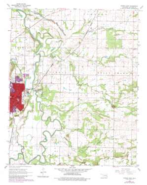
Poteau East Topo Map Oklahoma
To zoom in, hover over the map of Poteau East
USGS Topo Quad 35094a5 - 1:24,000 scale
| Topo Map Name: | Poteau East |
| USGS Topo Quad ID: | 35094a5 |
| Print Size: | ca. 21 1/4" wide x 27" high |
| Southeast Coordinates: | 35° N latitude / 94.5° W longitude |
| Map Center Coordinates: | 35.0625° N latitude / 94.5625° W longitude |
| U.S. State: | OK |
| Filename: | o35094a5.jpg |
| Download Map JPG Image: | Poteau East topo map 1:24,000 scale |
| Map Type: | Topographic |
| Topo Series: | 7.5´ |
| Map Scale: | 1:24,000 |
| Source of Map Images: | United States Geological Survey (USGS) |
| Alternate Map Versions: |
Poteau East OK 1968, updated 1969 Download PDF Buy paper map Poteau East OK 1968, updated 1980 Download PDF Buy paper map Poteau East OK 1968, updated 1983 Download PDF Buy paper map Poteau East OK 2010 Download PDF Buy paper map Poteau East OK 2012 Download PDF Buy paper map Poteau East OK 2016 Download PDF Buy paper map |
1:24,000 Topo Quads surrounding Poteau East
> Back to 35094a1 at 1:100,000 scale
> Back to 35094a1 at 1:250,000 scale
> Back to U.S. Topo Maps home
Poteau East topo map: Gazetteer
Poteau East: Airports
Robert S Kerr Airport elevation 135m 442′Poteau East: Populated Places
Gilmore elevation 164m 538′Neff elevation 146m 479′
Poteau elevation 149m 488′
Poteau East: Streams
Cowskin Creek elevation 150m 492′Double Branch Creek elevation 130m 426′
Gap Creek elevation 128m 419′
Gap Creek elevation 128m 419′
Lost Poteau River elevation 124m 406′
McMurtrey Creek elevation 127m 416′
Nail Creek elevation 128m 419′
Nail Creek elevation 128m 419′
Polk Creek elevation 124m 406′
Riddle Creek elevation 128m 419′
Sugarloaf Creek elevation 130m 426′
Sugarloaf Creek elevation 130m 426′
The Cutoff elevation 127m 416′
Town Creek elevation 127m 416′
Poteau East digital topo map on disk
Buy this Poteau East topo map showing relief, roads, GPS coordinates and other geographical features, as a high-resolution digital map file on DVD:


