Indianapolis Topo Map Oklahoma
To zoom in, hover over the map of Indianapolis
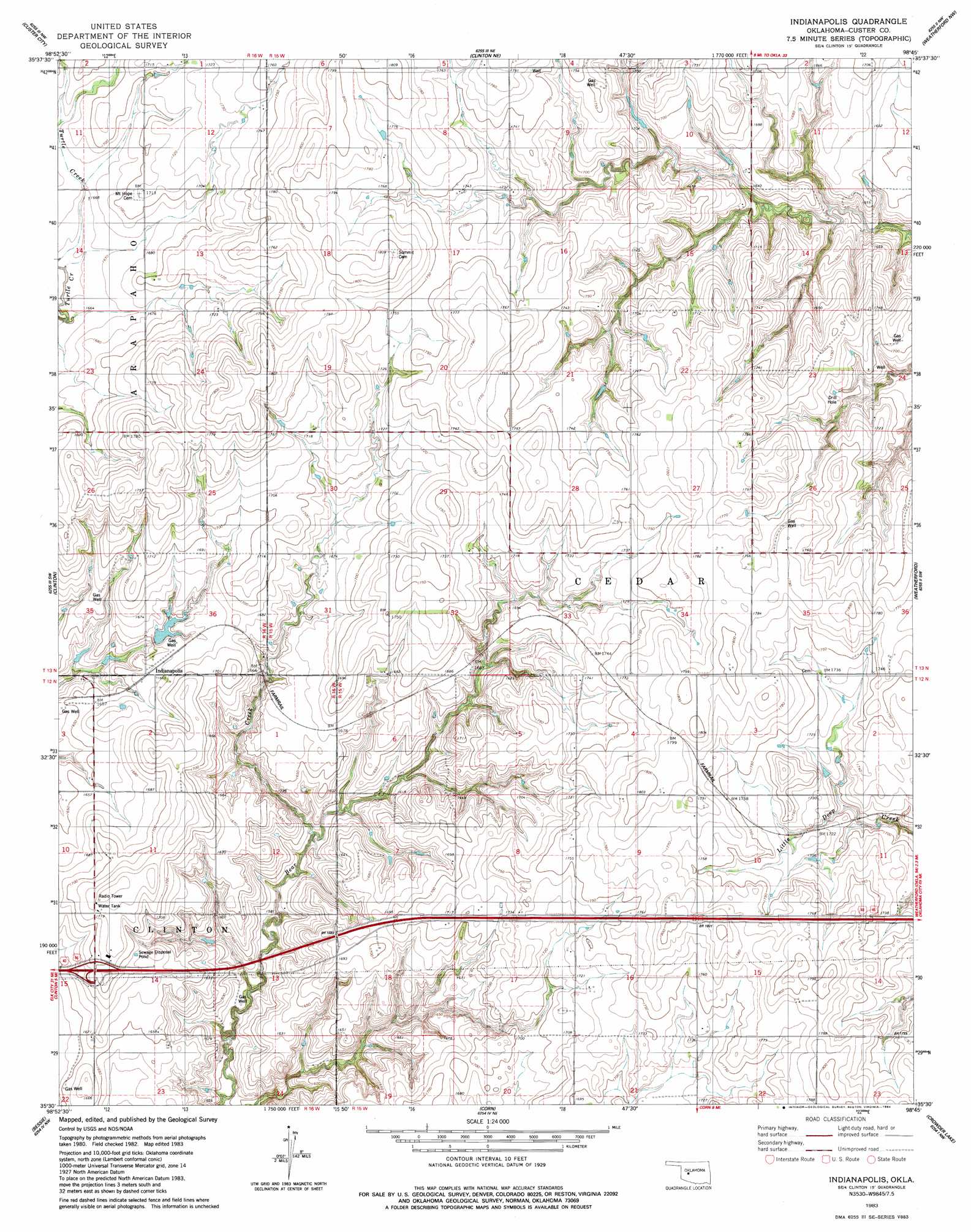
USGS Topo Quad 35098e7 - 1:24,000 scale
| Topo Map Name: | Indianapolis |
| USGS Topo Quad ID: | 35098e7 |
| Print Size: | ca. 21 1/4" wide x 27" high |
| Southeast Coordinates: | 35.5° N latitude / 98.75° W longitude |
| Map Center Coordinates: | 35.5625° N latitude / 98.8125° W longitude |
| U.S. State: | OK |
| Filename: | o35098e7.jpg |
| Download Map JPG Image: | Indianapolis topo map 1:24,000 scale |
| Map Type: | Topographic |
| Topo Series: | 7.5´ |
| Map Scale: | 1:24,000 |
| Source of Map Images: | United States Geological Survey (USGS) |
| Alternate Map Versions: |
Indianapolis OK 1983, updated 1984 Download PDF Buy paper map Indianapolis OK 2010 Download PDF Buy paper map Indianapolis OK 2012 Download PDF Buy paper map Indianapolis OK 2016 Download PDF Buy paper map |
1:24,000 Topo Quads surrounding Indianapolis
Aledo |
Putnam |
Rough Creek |
Fay |
Oakwood Se |
Anthon |
Custer City |
Clinton Ne |
Weatherford Nw |
Squaw Creek |
Stafford |
Clinton |
Indianapolis |
Weatherford |
Hydro |
Dill City Ne |
Bessie |
Corn |
Crowder Lake |
Eakly Ne |
Dill City Se |
Cordell |
Cloud Chief |
Colony |
Eakly |
> Back to 35098e1 at 1:100,000 scale
> Back to 35098a1 at 1:250,000 scale
> Back to U.S. Topo Maps home
Indianapolis topo map: Gazetteer
Indianapolis: Dams
Bear Creek Site 14 Dam elevation 497m 1630′Bozeman and McBride Dam elevation 519m 1702′
Gannaway and Berry Dam elevation 482m 1581′
George Cornell Dam elevation 512m 1679′
Glenn Dickey Dam elevation 521m 1709′
Indianapolis: Populated Places
Indianapolis elevation 507m 1663′Indianapolis: Reservoirs
Bear Creek Site 14 Reservoir elevation 497m 1630′Bozeman and McBride Reservoir elevation 519m 1702′
Dickey Reservoir elevation 521m 1709′
George Cornell Reservoir elevation 512m 1679′
Indianapolis digital topo map on disk
Buy this Indianapolis topo map showing relief, roads, GPS coordinates and other geographical features, as a high-resolution digital map file on DVD: