Everett Topo Map Texas
To zoom in, hover over the map of Everett
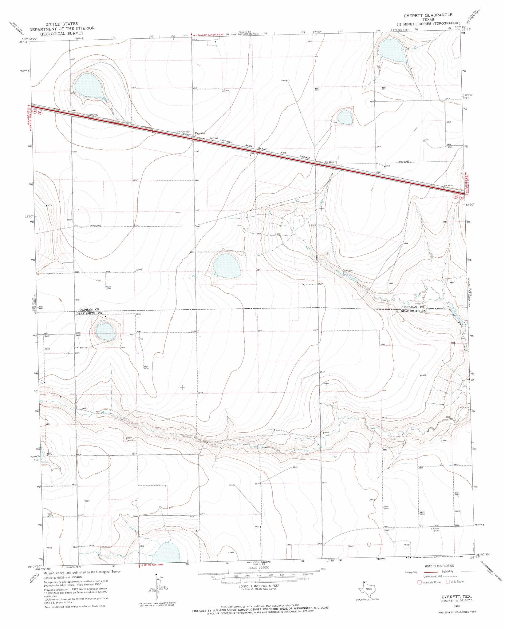
USGS Topo Quad 35102b3 - 1:24,000 scale
| Topo Map Name: | Everett |
| USGS Topo Quad ID: | 35102b3 |
| Print Size: | ca. 21 1/4" wide x 27" high |
| Southeast Coordinates: | 35.125° N latitude / 102.25° W longitude |
| Map Center Coordinates: | 35.1875° N latitude / 102.3125° W longitude |
| U.S. State: | TX |
| Filename: | o35102b3.jpg |
| Download Map JPG Image: | Everett topo map 1:24,000 scale |
| Map Type: | Topographic |
| Topo Series: | 7.5´ |
| Map Scale: | 1:24,000 |
| Source of Map Images: | United States Geological Survey (USGS) |
| Alternate Map Versions: |
Everett TX 1965, updated 1969 Download PDF Buy paper map Everett TX 2010 Download PDF Buy paper map Everett TX 2012 Download PDF Buy paper map Everett TX 2016 Download PDF Buy paper map |
1:24,000 Topo Quads surrounding Everett
Alamocitos Camp |
Torrea Peak |
Halfway Creek |
Ady |
Boden |
Landergin |
Vega North |
Jay Taylor Ranch |
Rotten Hill |
Wolf Mountain |
Simms Ne |
Vega South |
Everett |
Wildorado |
Bushland |
Overstreet Lake |
Ford |
Allison Ranch |
Wildorado Sw |
Bivins Lake |
Westway Ne |
Milo Center |
Hereford Ne |
Dawn |
Umbarger |
> Back to 35102a1 at 1:100,000 scale
> Back to 35102a1 at 1:250,000 scale
> Back to U.S. Topo Maps home
Everett topo map: Gazetteer
Everett: Dams
Montgomery Lake Dam elevation 1172m 3845′Everett: Populated Places
Everett elevation 1220m 4002′Everett: Reservoirs
Montgomery Lake elevation 1172m 3845′Everett digital topo map on disk
Buy this Everett topo map showing relief, roads, GPS coordinates and other geographical features, as a high-resolution digital map file on DVD: