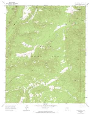
Elk Mountain Topo Map New Mexico
To zoom in, hover over the map of Elk Mountain
USGS Topo Quad 35105g5 - 1:24,000 scale
| Topo Map Name: | Elk Mountain |
| USGS Topo Quad ID: | 35105g5 |
| Print Size: | ca. 21 1/4" wide x 27" high |
| Southeast Coordinates: | 35.75° N latitude / 105.5° W longitude |
| Map Center Coordinates: | 35.8125° N latitude / 105.5625° W longitude |
| U.S. State: | NM |
| Filename: | o35105g5.jpg |
| Download Map JPG Image: | Elk Mountain topo map 1:24,000 scale |
| Map Type: | Topographic |
| Topo Series: | 7.5´ |
| Map Scale: | 1:24,000 |
| Source of Map Images: | United States Geological Survey (USGS) |
| Alternate Map Versions: |
Elk Mountain NM 1963, updated 1966 Download PDF Buy paper map Elk Mountain NM 1963, updated 1971 Download PDF Buy paper map Elk Mountain NM 2002, updated 2003 Download PDF Buy paper map Elk Mountain NM 2011 Download PDF Buy paper map Elk Mountain NM 2013 Download PDF Buy paper map Elk Mountain NM 2017 Download PDF Buy paper map |
| FStopo: | US Forest Service topo Elk Mountain is available: Download FStopo PDF Download FStopo TIF |
1:24,000 Topo Quads surrounding Elk Mountain
> Back to 35105e1 at 1:100,000 scale
> Back to 35104a1 at 1:250,000 scale
> Back to U.S. Topo Maps home
Elk Mountain topo map: Gazetteer
Elk Mountain: Areas
Valle Alto elevation 3454m 11332′Valle Largo elevation 3091m 10141′
Valle Medio elevation 3104m 10183′
Vegas Bonita elevation 3229m 10593′
Elk Mountain: Flats
Mora Flats elevation 2807m 9209′Elk Mountain: Lakes
Lost Lake elevation 3031m 9944′Elk Mountain: Ranges
Santa Fe Mountains elevation 3097m 10160′Elk Mountain: Springs
Burnt Spring elevation 3161m 10370′Weener Spring elevation 3291m 10797′
Elk Mountain: Streams
Noisy Brook elevation 2764m 9068′Rio Valdez elevation 2830m 9284′
Rito del Oso elevation 2863m 9393′
Rito Las Trampas elevation 2706m 8877′
Rito los Esteros elevation 2796m 9173′
South Fork Bear Creek elevation 2762m 9061′
Elk Mountain: Summits
Elk Mountain elevation 3550m 11646′Mount Barker elevation 3490m 11450′
Spring Mountain elevation 3400m 11154′
Elk Mountain digital topo map on disk
Buy this Elk Mountain topo map showing relief, roads, GPS coordinates and other geographical features, as a high-resolution digital map file on DVD:


