West Of Juniper Mine Topo Map California
To zoom in, hover over the map of West Of Juniper Mine
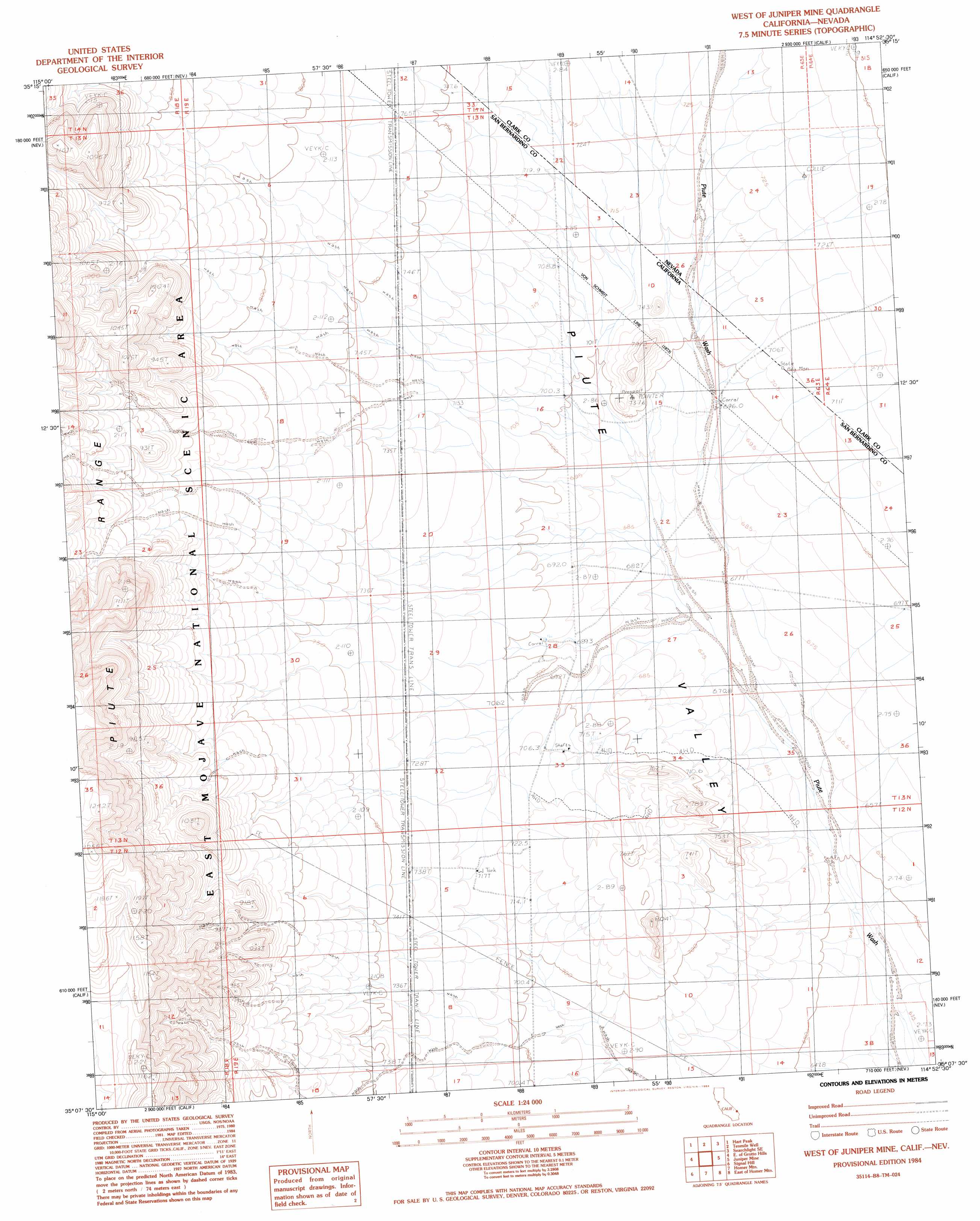
USGS Topo Quad 35114b8 - 1:24,000 scale
| Topo Map Name: | West Of Juniper Mine |
| USGS Topo Quad ID: | 35114b8 |
| Print Size: | ca. 21 1/4" wide x 27" high |
| Southeast Coordinates: | 35.125° N latitude / 114.875° W longitude |
| Map Center Coordinates: | 35.1875° N latitude / 114.9375° W longitude |
| U.S. States: | CA, NV |
| Filename: | o35114b8.jpg |
| Download Map JPG Image: | West Of Juniper Mine topo map 1:24,000 scale |
| Map Type: | Topographic |
| Topo Series: | 7.5´ |
| Map Scale: | 1:24,000 |
| Source of Map Images: | United States Geological Survey (USGS) |
| Alternate Map Versions: |
West of Juniper Mine CA 1984, updated 1984 Download PDF Buy paper map West of Juniper Mine CA 2012 Download PDF Buy paper map West of Juniper Mine CA 2015 Download PDF Buy paper map |
1:24,000 Topo Quads surrounding West Of Juniper Mine
Crescent Peak |
Hopps Well |
Searchlight |
Fourth Of July Mountain |
Spirit Mountain Nw |
Castle Peaks |
Hart Peak |
Tenmile Well |
Searchlight Se |
Spirit Mountain |
Grotto Hills |
East Of Grotto Hills |
West Of Juniper Mine |
Juniper Mine |
Bridge Canyon |
Hackberry Mountain |
Signal Hill |
Homer Mountain |
East Of Homer Mountain |
Mount Manchester |
Fenner Hills |
Goffs |
Homer |
Bannock |
Needles Nw |
> Back to 35114a1 at 1:100,000 scale
> Back to 35114a1 at 1:250,000 scale
> Back to U.S. Topo Maps home
No gazetteer data is available for the West Of Juniper Mine topo map sheet.
West Of Juniper Mine digital topo map on disk
Buy this West Of Juniper Mine topo map showing relief, roads, GPS coordinates and other geographical features, as a high-resolution digital map file on DVD:
Southern Sierra Nevada, California & Southern Nevada
Buy digital topo maps: Southern Sierra Nevada, California & Southern Nevada