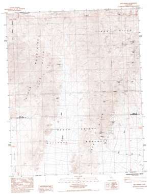
Ibex Spring Topo Map California
To zoom in, hover over the map of Ibex Spring
USGS Topo Quad 35116g4 - 1:24,000 scale
| Topo Map Name: | Ibex Spring |
| USGS Topo Quad ID: | 35116g4 |
| Print Size: | ca. 21 1/4" wide x 27" high |
| Southeast Coordinates: | 35.75° N latitude / 116.375° W longitude |
| Map Center Coordinates: | 35.8125° N latitude / 116.4375° W longitude |
| U.S. State: | CA |
| Filename: | o35116g4.jpg |
| Download Map JPG Image: | Ibex Spring topo map 1:24,000 scale |
| Map Type: | Topographic |
| Topo Series: | 7.5´ |
| Map Scale: | 1:24,000 |
| Source of Map Images: | United States Geological Survey (USGS) |
| Alternate Map Versions: |
Ibex Spring CA 1985, updated 1985 Download PDF Buy paper map Ibex Spring CA 2012 Download PDF Buy paper map Ibex Spring CA 2015 Download PDF Buy paper map |
1:24,000 Topo Quads surrounding Ibex Spring
> Back to 35116e1 at 1:100,000 scale
> Back to 35116a1 at 1:250,000 scale
> Back to U.S. Topo Maps home
Ibex Spring topo map: Gazetteer
Ibex Spring: Mines
American Mine elevation 1091m 3579′Comet Mine elevation 1123m 3684′
Eclipse Mine elevation 903m 2962′
Giant Mine elevation 853m 2798′
Giant Mine elevation 887m 2910′
Gladstone Mine elevation 944m 3097′
Ibex Mine elevation 519m 1702′
Mammoth Mine elevation 989m 3244′
Monarch Mine elevation 473m 1551′
Moorehouse Mine elevation 503m 1650′
Paddys Pride Mine elevation 974m 3195′
Pleasanton Mine elevation 450m 1476′
Rob Roy Mine elevation 563m 1847′
Rusty Pick Mine elevation 748m 2454′
Wonder Mine elevation 735m 2411′
Ibex Spring: Ranges
Ibex Hills elevation 1263m 4143′Ibex Spring: Springs
Ibex Spring elevation 346m 1135′Ibex Spring digital topo map on disk
Buy this Ibex Spring topo map showing relief, roads, GPS coordinates and other geographical features, as a high-resolution digital map file on DVD:
Southern Sierra Nevada, California & Southern Nevada
Buy digital topo maps: Southern Sierra Nevada, California & Southern Nevada


