The Buttes Topo Map California
To zoom in, hover over the map of The Buttes
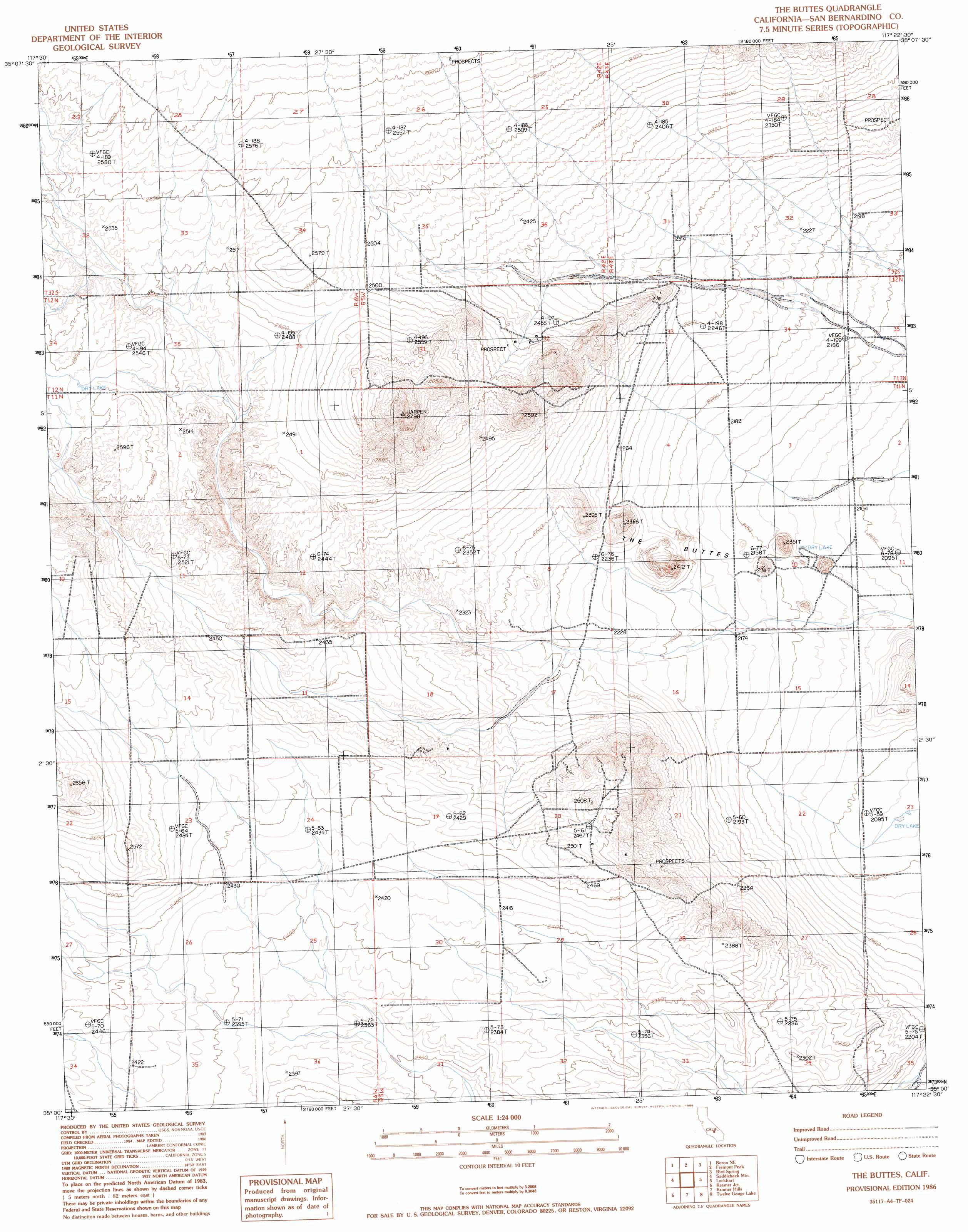
USGS Topo Quad 35117a4 - 1:24,000 scale
| Topo Map Name: | The Buttes |
| USGS Topo Quad ID: | 35117a4 |
| Print Size: | ca. 21 1/4" wide x 27" high |
| Southeast Coordinates: | 35° N latitude / 117.375° W longitude |
| Map Center Coordinates: | 35.0625° N latitude / 117.4375° W longitude |
| U.S. State: | CA |
| Filename: | o35117a4.jpg |
| Download Map JPG Image: | The Buttes topo map 1:24,000 scale |
| Map Type: | Topographic |
| Topo Series: | 7.5´ |
| Map Scale: | 1:24,000 |
| Source of Map Images: | United States Geological Survey (USGS) |
| Alternate Map Versions: |
The Buttes CA 1986, updated 1986 Download PDF Buy paper map The Buttes CA 2012 Download PDF Buy paper map The Buttes CA 2015 Download PDF Buy paper map |
1:24,000 Topo Quads surrounding The Buttes
Johannesburg |
Red Mountain |
Cuddeback Lake |
Blackwater Well |
Slocum Mountain |
Boron Nw |
Boron Ne |
Fremont Peak |
Bird Spring |
Opal Mountain |
Boron |
Saddleback Mountain |
The Buttes |
Lockhart |
Water Valley |
Leuhman Ridge |
Kramer Junction |
Kramer Hills |
Twelve Gauge Lake |
Hinkley |
Jackrabbit Hill |
Red Buttes |
Astley Rancho |
Wild Crossing |
Hodge |
> Back to 35117a1 at 1:100,000 scale
> Back to 35116a1 at 1:250,000 scale
> Back to U.S. Topo Maps home
The Buttes topo map: Gazetteer
The Buttes: Summits
The Buttes elevation 720m 2362′The Buttes: Wells
McDonald Well elevation 701m 2299′The Buttes digital topo map on disk
Buy this The Buttes topo map showing relief, roads, GPS coordinates and other geographical features, as a high-resolution digital map file on DVD:
Southern Sierra Nevada, California & Southern Nevada
Buy digital topo maps: Southern Sierra Nevada, California & Southern Nevada