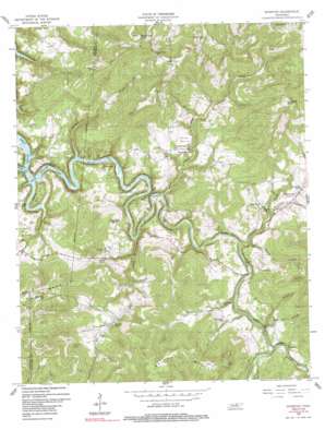
Riverton Topo Map Tennessee
To zoom in, hover over the map of Riverton
USGS Topo Quad 36085d1 - 1:24,000 scale
| Topo Map Name: | Riverton |
| USGS Topo Quad ID: | 36085d1 |
| Print Size: | ca. 21 1/4" wide x 27" high |
| Southeast Coordinates: | 36.375° N latitude / 85° W longitude |
| Map Center Coordinates: | 36.4375° N latitude / 85.0625° W longitude |
| U.S. State: | TN |
| Filename: | o36085d1.jpg |
| Download Map JPG Image: | Riverton topo map 1:24,000 scale |
| Map Type: | Topographic |
| Topo Series: | 7.5´ |
| Map Scale: | 1:24,000 |
| Source of Map Images: | United States Geological Survey (USGS) |
| Alternate Map Versions: |
Riverton TN 1956, updated 1957 Download PDF Buy paper map Riverton TN 1956, updated 1957 Download PDF Buy paper map Riverton TN 1956, updated 1991 Download PDF Buy paper map Riverton TN 2010 Download PDF Buy paper map Riverton TN 2013 Download PDF Buy paper map Riverton TN 2016 Download PDF Buy paper map |
1:24,000 Topo Quads surrounding Riverton
> Back to 36085a1 at 1:100,000 scale
> Back to 36084a1 at 1:250,000 scale
> Back to U.S. Topo Maps home
Riverton topo map: Gazetteer
Riverton: Bends
Goose Neck elevation 232m 761′Riverton: Populated Places
Boatland elevation 265m 869′Cooper elevation 273m 895′
Double Top elevation 537m 1761′
Eastport elevation 239m 784′
Fairview elevation 533m 1748′
Glenobey elevation 226m 741′
Helena elevation 256m 839′
Little Crab elevation 289m 948′
Manson elevation 256m 839′
Riverton elevation 253m 830′
Riverton: Streams
Big Indian Creek elevation 199m 652′Buffalo Cove Creek elevation 213m 698′
Cricket Creek elevation 198m 649′
East Fork Obey River elevation 198m 649′
Little Crab Creek elevation 201m 659′
Poplar Cove Creek elevation 206m 675′
Rockhouse Branch elevation 198m 649′
West Fork Obey River elevation 198m 649′
Riverton: Summits
Buzzards Roost elevation 535m 1755′Cat Hill elevation 269m 882′
King Mountain elevation 541m 1774′
Reynolds Mountain elevation 521m 1709′
Skinner Mountain elevation 550m 1804′
Tater Hill elevation 526m 1725′
Riverton: Valleys
Branham Hollow elevation 231m 757′Cat Pen Hollow elevation 224m 734′
Dark Hollow elevation 241m 790′
Gould Hollow elevation 211m 692′
Hood Hollow elevation 212m 695′
Poplar Cove elevation 207m 679′
Taylor Hollow elevation 252m 826′
Riverton digital topo map on disk
Buy this Riverton topo map showing relief, roads, GPS coordinates and other geographical features, as a high-resolution digital map file on DVD:


