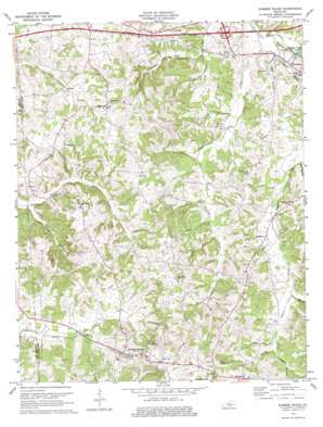
Summer Shade Topo Map Kentucky
To zoom in, hover over the map of Summer Shade
USGS Topo Quad 36085h6 - 1:24,000 scale
| Topo Map Name: | Summer Shade |
| USGS Topo Quad ID: | 36085h6 |
| Print Size: | ca. 21 1/4" wide x 27" high |
| Southeast Coordinates: | 36.875° N latitude / 85.625° W longitude |
| Map Center Coordinates: | 36.9375° N latitude / 85.6875° W longitude |
| U.S. State: | KY |
| Filename: | o36085h6.jpg |
| Download Map JPG Image: | Summer Shade topo map 1:24,000 scale |
| Map Type: | Topographic |
| Topo Series: | 7.5´ |
| Map Scale: | 1:24,000 |
| Source of Map Images: | United States Geological Survey (USGS) |
| Alternate Map Versions: |
Summer Shade KY 1953, updated 1955 Download PDF Buy paper map Summer Shade KY 1974, updated 1975 Download PDF Buy paper map Summer Shade KY 2010 Download PDF Buy paper map Summer Shade KY 2013 Download PDF Buy paper map Summer Shade KY 2016 Download PDF Buy paper map |
1:24,000 Topo Quads surrounding Summer Shade
> Back to 36085e1 at 1:100,000 scale
> Back to 36084a1 at 1:250,000 scale
> Back to U.S. Topo Maps home
Summer Shade topo map: Gazetteer
Summer Shade: Populated Places
Beaumont elevation 327m 1072′Goodluck elevation 251m 823′
Randolph elevation 288m 944′
Summer Shade elevation 273m 895′
Summer Shade: Streams
Black Rock Creek elevation 235m 770′Branstetter Branch elevation 261m 856′
Cave Branch elevation 262m 859′
Clay Lick Creek elevation 219m 718′
Duggar Branch elevation 219m 718′
Hardin Branch elevation 225m 738′
Rogers Creek elevation 219m 718′
Sulfur Well Branch elevation 256m 839′
Taylor Branch elevation 226m 741′
Thompson Branch elevation 246m 807′
Worder Branch elevation 253m 830′
Summer Shade: Valleys
Miner Hollow elevation 252m 826′Summer Shade digital topo map on disk
Buy this Summer Shade topo map showing relief, roads, GPS coordinates and other geographical features, as a high-resolution digital map file on DVD:


