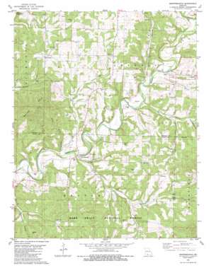
Brownbranch Topo Map Missouri
To zoom in, hover over the map of Brownbranch
USGS Topo Quad 36092g7 - 1:24,000 scale
| Topo Map Name: | Brownbranch |
| USGS Topo Quad ID: | 36092g7 |
| Print Size: | ca. 21 1/4" wide x 27" high |
| Southeast Coordinates: | 36.75° N latitude / 92.75° W longitude |
| Map Center Coordinates: | 36.8125° N latitude / 92.8125° W longitude |
| U.S. State: | MO |
| Filename: | o36092g7.jpg |
| Download Map JPG Image: | Brownbranch topo map 1:24,000 scale |
| Map Type: | Topographic |
| Topo Series: | 7.5´ |
| Map Scale: | 1:24,000 |
| Source of Map Images: | United States Geological Survey (USGS) |
| Alternate Map Versions: |
Brownbranch MO 1982, updated 1983 Download PDF Buy paper map Brownbranch MO 2004, updated 2006 Download PDF Buy paper map Brownbranch MO 2012 Download PDF Buy paper map Brownbranch MO 2015 Download PDF Buy paper map |
| FStopo: | US Forest Service topo Brownbranch is available: Download FStopo PDF Download FStopo TIF |
1:24,000 Topo Quads surrounding Brownbranch
> Back to 36092e1 at 1:100,000 scale
> Back to 36092a1 at 1:250,000 scale
> Back to U.S. Topo Maps home
Brownbranch topo map: Gazetteer
Brownbranch: Populated Places
Brownbranch elevation 275m 902′Cross Roads elevation 376m 1233′
McClurg elevation 347m 1138′
Rome elevation 294m 964′
Brownbranch: Ranges
Walker Hills elevation 420m 1377′Brownbranch: Streams
Bear Branch elevation 282m 925′Brown Branch elevation 284m 931′
Caney Creek elevation 268m 879′
Jack Branch elevation 282m 925′
Little Brown Branch elevation 263m 862′
Brownbranch: Valleys
Kings Hollow elevation 293m 961′Peckerwood Hollow elevation 280m 918′
Waterhole Hollow elevation 303m 994′
Brownbranch digital topo map on disk
Buy this Brownbranch topo map showing relief, roads, GPS coordinates and other geographical features, as a high-resolution digital map file on DVD:


