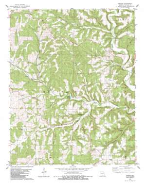
Sweden Topo Map Missouri
To zoom in, hover over the map of Sweden
USGS Topo Quad 36092h5 - 1:24,000 scale
| Topo Map Name: | Sweden |
| USGS Topo Quad ID: | 36092h5 |
| Print Size: | ca. 21 1/4" wide x 27" high |
| Southeast Coordinates: | 36.875° N latitude / 92.5° W longitude |
| Map Center Coordinates: | 36.9375° N latitude / 92.5625° W longitude |
| U.S. State: | MO |
| Filename: | o36092h5.jpg |
| Download Map JPG Image: | Sweden topo map 1:24,000 scale |
| Map Type: | Topographic |
| Topo Series: | 7.5´ |
| Map Scale: | 1:24,000 |
| Source of Map Images: | United States Geological Survey (USGS) |
| Alternate Map Versions: |
Sweden MO 1982, updated 1983 Download PDF Buy paper map Sweden MO 2012 Download PDF Buy paper map Sweden MO 2015 Download PDF Buy paper map |
1:24,000 Topo Quads surrounding Sweden
> Back to 36092e1 at 1:100,000 scale
> Back to 36092a1 at 1:250,000 scale
> Back to U.S. Topo Maps home
Sweden topo map: Gazetteer
Sweden: Airports
Arnika Ranch Airport elevation 350m 1148′Sweden: Populated Places
Basher elevation 409m 1341′Larissa elevation 285m 935′
Sweden elevation 341m 1118′
Sweden: Post Offices
Idumea Post Office (historical) elevation 337m 1105′Larissa Post Office (historical) elevation 285m 935′
Sweden Post Office elevation 341m 1118′
Sweden: Ridges
Peaky Ridge elevation 307m 1007′Sweden: Springs
Crystal Spring elevation 272m 892′Hoffmeister Spring elevation 272m 892′
Olive Springs elevation 350m 1148′
Sweden: Streams
Bill Macks Creek elevation 274m 898′Camp Creek elevation 262m 859′
Dicky Creek elevation 263m 862′
Dry Creek elevation 282m 925′
Henry Creek elevation 287m 941′
Jacks Fork elevation 274m 898′
Tarbutton Creek elevation 257m 843′
Turkey Creek elevation 293m 961′
Whites Creek elevation 263m 862′
Wildcat Creek elevation 285m 935′
Sweden: Summits
Iron Mountain elevation 402m 1318′Sweden: Valleys
Barn Hollow elevation 275m 902′Josie Hollow elevation 286m 938′
Pine Hollow elevation 277m 908′
Watered Hollow elevation 325m 1066′
Sweden digital topo map on disk
Buy this Sweden topo map showing relief, roads, GPS coordinates and other geographical features, as a high-resolution digital map file on DVD:


