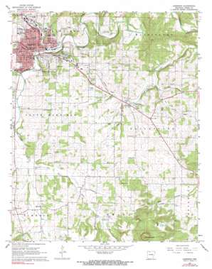
Harrison Topo Map Arkansas
To zoom in, hover over the map of Harrison
USGS Topo Quad 36093b1 - 1:24,000 scale
| Topo Map Name: | Harrison |
| USGS Topo Quad ID: | 36093b1 |
| Print Size: | ca. 21 1/4" wide x 27" high |
| Southeast Coordinates: | 36.125° N latitude / 93° W longitude |
| Map Center Coordinates: | 36.1875° N latitude / 93.0625° W longitude |
| U.S. State: | AR |
| Filename: | o36093b1.jpg |
| Download Map JPG Image: | Harrison topo map 1:24,000 scale |
| Map Type: | Topographic |
| Topo Series: | 7.5´ |
| Map Scale: | 1:24,000 |
| Source of Map Images: | United States Geological Survey (USGS) |
| Alternate Map Versions: |
Harrison AR 1967, updated 1968 Download PDF Buy paper map Harrison AR 1967, updated 1968 Download PDF Buy paper map Harrison AR 2011 Download PDF Buy paper map Harrison AR 2014 Download PDF Buy paper map |
1:24,000 Topo Quads surrounding Harrison
Denver |
Omaha |
Omaha Ne |
Diamond City |
Peel |
Alpena |
Batavia |
Bergman |
Zinc |
Pyatt |
Osage Ne |
Gaither |
Harrison |
Everton |
Bruno |
Ponca |
Jasper |
Hasty |
Western Grove |
Saint Joe |
Murray |
Parthenon |
Mount Judea |
Eula |
Snowball |
> Back to 36093a1 at 1:100,000 scale
> Back to 36092a1 at 1:250,000 scale
> Back to U.S. Topo Maps home
Harrison topo map: Gazetteer
Harrison: Airports
North Arkansas Medical Center Heliport elevation 345m 1131′Harrison: Areas
Huzzah Prairie elevation 362m 1187′Harrison: Parks
Woodland Park elevation 346m 1135′Harrison: Populated Places
Bellefonte elevation 324m 1062′Chapman elevation 349m 1145′
Elmwood elevation 365m 1197′
Harrison elevation 316m 1036′
Mount Pleasant (historical) elevation 334m 1095′
Watkins (historical) elevation 392m 1286′
Harrison: Post Offices
Harrison Post Office elevation 318m 1043′Harrison: Springs
Wilson Spring elevation 318m 1043′Harrison: Streams
Brush Creek elevation 318m 1043′Dry Branch elevation 314m 1030′
Dry Branch elevation 313m 1026′
Dry Jordan Creek elevation 311m 1020′
East Fork Crooked Creek elevation 334m 1095′
West Fork Crooked Creek elevation 329m 1079′
Harrison: Summits
Pilot Mountain elevation 624m 2047′Harrison: Valleys
Gooch Hollow elevation 293m 961′Harrison digital topo map on disk
Buy this Harrison topo map showing relief, roads, GPS coordinates and other geographical features, as a high-resolution digital map file on DVD:


