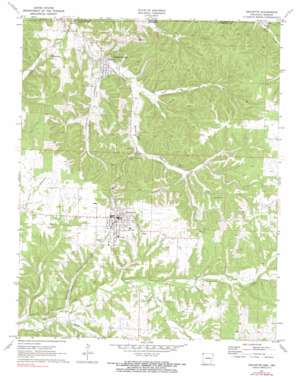
Gravette Topo Map Arkansas
To zoom in, hover over the map of Gravette
USGS Topo Quad 36094d4 - 1:24,000 scale
| Topo Map Name: | Gravette |
| USGS Topo Quad ID: | 36094d4 |
| Print Size: | ca. 21 1/4" wide x 27" high |
| Southeast Coordinates: | 36.375° N latitude / 94.375° W longitude |
| Map Center Coordinates: | 36.4375° N latitude / 94.4375° W longitude |
| U.S. States: | AR, MO |
| Filename: | o36094d4.jpg |
| Download Map JPG Image: | Gravette topo map 1:24,000 scale |
| Map Type: | Topographic |
| Topo Series: | 7.5´ |
| Map Scale: | 1:24,000 |
| Source of Map Images: | United States Geological Survey (USGS) |
| Alternate Map Versions: |
Gravette AR 1971, updated 1973 Download PDF Buy paper map Gravette AR 1971, updated 1990 Download PDF Buy paper map Gravette AR 2011 Download PDF Buy paper map Gravette AR 2014 Download PDF Buy paper map |
1:24,000 Topo Quads surrounding Gravette
> Back to 36094a1 at 1:100,000 scale
> Back to 36094a1 at 1:250,000 scale
> Back to U.S. Topo Maps home
Gravette topo map: Gazetteer
Gravette: Bridges
Butler Creek Bridge elevation 273m 895′Spavinaw Creek Bridge elevation 307m 1007′
Gravette: Parks
Field Kindley Memorial Park elevation 364m 1194′Sulphur Springs City Park elevation 274m 898′
Gravette: Populated Places
Dorsey (historical) elevation 310m 1017′Gallatin (historical) elevation 340m 1115′
Gravette elevation 371m 1217′
Nebo elevation 365m 1197′
Pond (historical) elevation 397m 1302′
Round Top (historical) elevation 295m 967′
Sulphur Springs elevation 277m 908′
Gravette: Springs
Bear Spring elevation 338m 1108′Sulphur Springs elevation 274m 898′
Gravette: Streams
Horse Creek elevation 270m 885′Seilers Branch elevation 283m 928′
South Prong Spavinaw Creek elevation 320m 1049′
Wolf Creek elevation 307m 1007′
Gravette: Summits
Roundtop elevation 334m 1095′Gravette: Valleys
Railroad Hollow elevation 313m 1026′Rattlesnake Hollow elevation 319m 1046′
Rocky Dell Hollow elevation 284m 931′
Gravette digital topo map on disk
Buy this Gravette topo map showing relief, roads, GPS coordinates and other geographical features, as a high-resolution digital map file on DVD:


