Arnett Topo Map Oklahoma
To zoom in, hover over the map of Arnett
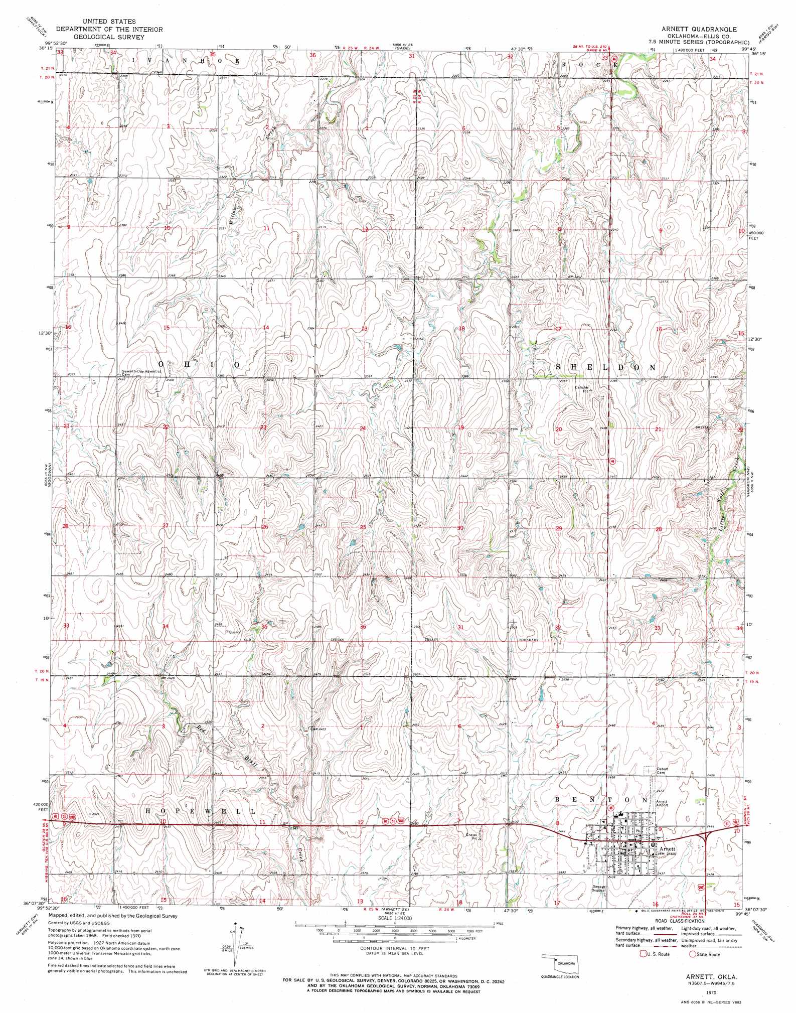
USGS Topo Quad 36099b7 - 1:24,000 scale
| Topo Map Name: | Arnett |
| USGS Topo Quad ID: | 36099b7 |
| Print Size: | ca. 21 1/4" wide x 27" high |
| Southeast Coordinates: | 36.125° N latitude / 99.75° W longitude |
| Map Center Coordinates: | 36.1875° N latitude / 99.8125° W longitude |
| U.S. State: | OK |
| Filename: | o36099b7.jpg |
| Download Map JPG Image: | Arnett topo map 1:24,000 scale |
| Map Type: | Topographic |
| Topo Series: | 7.5´ |
| Map Scale: | 1:24,000 |
| Source of Map Images: | United States Geological Survey (USGS) |
| Alternate Map Versions: |
Arnett OK 1970, updated 1972 Download PDF Buy paper map Arnett OK 2010 Download PDF Buy paper map Arnett OK 2012 Download PDF Buy paper map Arnett OK 2016 Download PDF Buy paper map |
1:24,000 Topo Quads surrounding Arnett
Magoun |
Shattuck Nw |
Shattuck Ne |
Fargo Nw |
Fargo |
Follett Se |
Shattuck |
Gage |
Fargo Sw |
Fargo Se |
Higgins North |
Goodwin |
Arnett |
Harmon Nw |
Harmon |
Higgins South |
Arnett Sw |
Arnett Se |
Harmon Sw |
Harmon Se |
Dreyfoos |
Antelope Hills |
Antelope Hills Ne |
Roll Nw |
Roll Ne |
> Back to 36099a1 at 1:100,000 scale
> Back to 36098a1 at 1:250,000 scale
> Back to U.S. Topo Maps home
Arnett digital topo map on disk
Buy this Arnett topo map showing relief, roads, GPS coordinates and other geographical features, as a high-resolution digital map file on DVD: