Sunray 1 Se Topo Map Texas
To zoom in, hover over the map of Sunray 1 Se
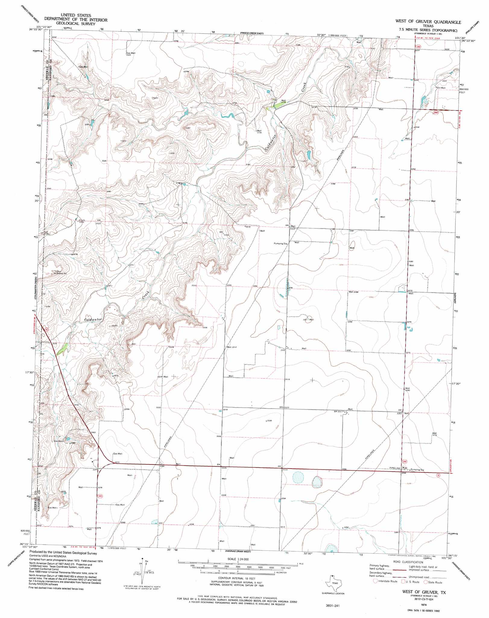
USGS Topo Quad 36101c5 - 1:24,000 scale
| Topo Map Name: | Sunray 1 Se |
| USGS Topo Quad ID: | 36101c5 |
| Print Size: | ca. 21 1/4" wide x 27" high |
| Southeast Coordinates: | 36.25° N latitude / 101.5° W longitude |
| Map Center Coordinates: | 36.3125° N latitude / 101.5625° W longitude |
| U.S. State: | TX |
| Filename: | o36101c5.jpg |
| Download Map JPG Image: | Sunray 1 Se topo map 1:24,000 scale |
| Map Type: | Topographic |
| Topo Series: | 7.5´ |
| Map Scale: | 1:24,000 |
| Source of Map Images: | United States Geological Survey (USGS) |
| Alternate Map Versions: |
Sunray 1 SE TX 1974, updated 1977 Download PDF Buy paper map West of Gruver TX 1974, updated 1995 Download PDF Buy paper map West of Gruver TX 2010 Download PDF Buy paper map West of Gruver TX 2012 Download PDF Buy paper map West of Gruver TX 2016 Download PDF Buy paper map |
1:24,000 Topo Quads surrounding Sunray 1 Se
Texhoma North |
Goodwell |
Goodwell Se |
Guymon Sw |
Guymon Se |
Texhoma South |
Sunray 1 Nw |
Sunray 1 Ne |
Phillips Camp |
Bernstein |
Stevens Se |
Sunray 1 Sw |
Sunray 1 Se |
Gruver |
Kimball |
Pleasure Pond |
Capps Switch Nw |
Hannas Draw West |
Hannas Draw East |
Hansford |
Sunray |
Capps Switch |
Capps Switch Se |
Morse |
Morse Se |
> Back to 36101a1 at 1:100,000 scale
> Back to 36100a1 at 1:250,000 scale
> Back to U.S. Topo Maps home
Sunray 1 Se digital topo map on disk
Buy this Sunray 1 Se topo map showing relief, roads, GPS coordinates and other geographical features, as a high-resolution digital map file on DVD: