Hansford Camp Topo Map Texas
To zoom in, hover over the map of Hansford Camp
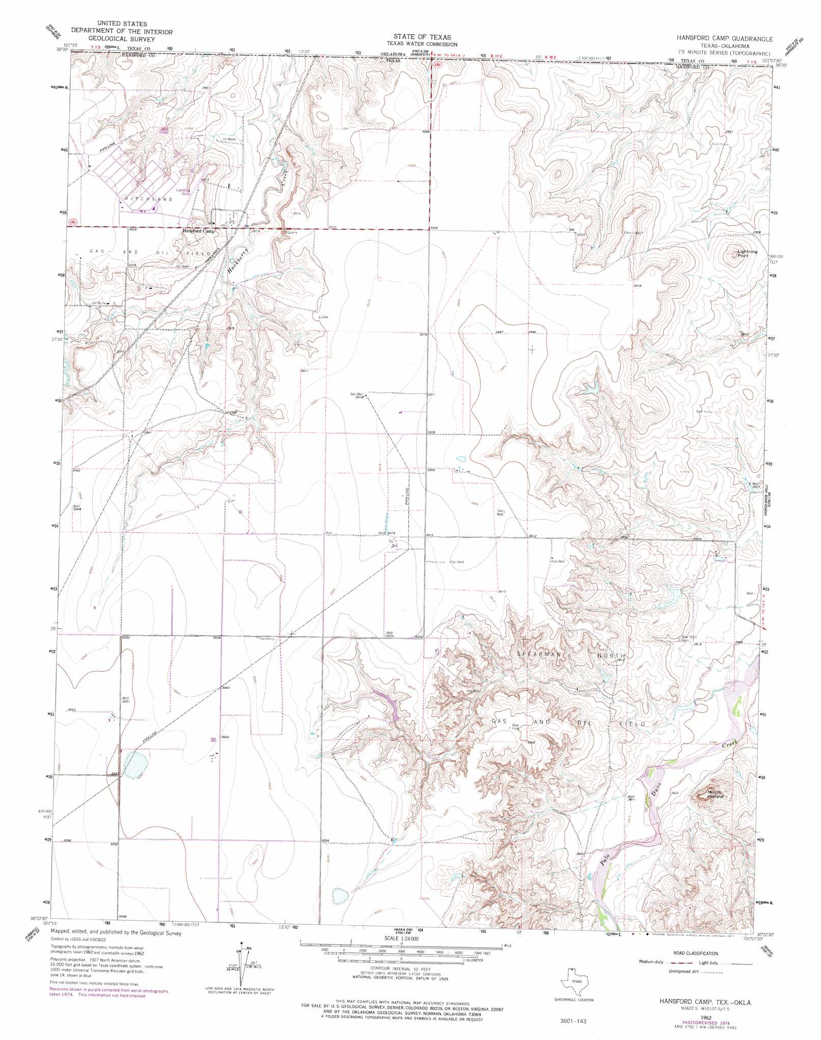
USGS Topo Quad 36101d2 - 1:24,000 scale
| Topo Map Name: | Hansford Camp |
| USGS Topo Quad ID: | 36101d2 |
| Print Size: | ca. 21 1/4" wide x 27" high |
| Southeast Coordinates: | 36.375° N latitude / 101.125° W longitude |
| Map Center Coordinates: | 36.4375° N latitude / 101.1875° W longitude |
| U.S. States: | TX, OK |
| Filename: | o36101d2.jpg |
| Download Map JPG Image: | Hansford Camp topo map 1:24,000 scale |
| Map Type: | Topographic |
| Topo Series: | 7.5´ |
| Map Scale: | 1:24,000 |
| Source of Map Images: | United States Geological Survey (USGS) |
| Alternate Map Versions: |
Hansford Camp TX 1962, updated 1965 Download PDF Buy paper map Hansford Camp TX 1962, updated 1977 Download PDF Buy paper map Hansford Camp TX 2010 Download PDF Buy paper map Hansford Camp TX 2012 Download PDF Buy paper map Hansford Camp TX 2016 Download PDF Buy paper map |
1:24,000 Topo Quads surrounding Hansford Camp
Guymon |
Guymon Ne |
Optima Dam |
Hardesty Ne |
Red Horse Creek |
Guymon Sw |
Guymon Se |
Hardesty |
Hardesty Se |
Bryans Corner Sw |
Phillips Camp |
Bernstein |
Hansford Camp |
Horseshoe Hill |
Perryton Nw |
Gruver |
Kimball |
Waka Sw |
Waka |
Farnsworth |
Hannas Draw East |
Hansford |
Spearman |
Spearman Ne |
Sourdough Creek Nw |
> Back to 36101a1 at 1:100,000 scale
> Back to 36100a1 at 1:250,000 scale
> Back to U.S. Topo Maps home
Hansford Camp topo map: Gazetteer
Hansford Camp: Oilfields
Hitchland Gas and Oil Field elevation 918m 3011′Spearman North Gas and Oil Field elevation 905m 2969′
Hansford Camp: Summits
Lightning Point elevation 910m 2985′Mount Helland elevation 894m 2933′
Hansford Camp digital topo map on disk
Buy this Hansford Camp topo map showing relief, roads, GPS coordinates and other geographical features, as a high-resolution digital map file on DVD: