Stratford 2 Ne Topo Map Texas
To zoom in, hover over the map of Stratford 2 Ne
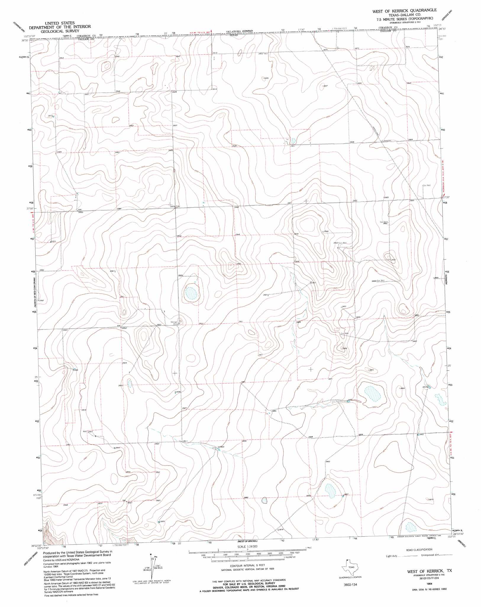
USGS Topo Quad 36102d3 - 1:24,000 scale
| Topo Map Name: | Stratford 2 Ne |
| USGS Topo Quad ID: | 36102d3 |
| Print Size: | ca. 21 1/4" wide x 27" high |
| Southeast Coordinates: | 36.375° N latitude / 102.25° W longitude |
| Map Center Coordinates: | 36.4375° N latitude / 102.3125° W longitude |
| U.S. State: | TX |
| Filename: | o36102d3.jpg |
| Download Map JPG Image: | Stratford 2 Ne topo map 1:24,000 scale |
| Map Type: | Topographic |
| Topo Series: | 7.5´ |
| Map Scale: | 1:24,000 |
| Source of Map Images: | United States Geological Survey (USGS) |
| Alternate Map Versions: |
Stratford 2 NE TX 1964, updated 1966 Download PDF Buy paper map West of Kerrick TX 1964, updated 1995 Download PDF Buy paper map West of Kerrick TX 1998, updated 2001 Download PDF Buy paper map West of Kerrick TX 2011 Download PDF Buy paper map West of Kerrick TX 2012 Download PDF Buy paper map West of Kerrick TX 2016 Download PDF Buy paper map |
| FStopo: | US Forest Service topo West of Kerrick is available: Download FStopo PDF Download FStopo TIF |
1:24,000 Topo Quads surrounding Stratford 2 Ne
Boise City |
Conrad Nw |
Sampsel Lake |
Griggs Nw |
Griggs Ne |
Boise City Se |
Conrad Sw |
Conrad |
Griggs Sw |
Griggs |
Coldwater East |
Stratford 2 Nw |
Stratford 2 Ne |
Kerrick |
Stratford Ne |
Pritchard Ranch |
Stratford 2 Sw |
Stratford 2 Se |
Brickel |
Stratford |
Bolin Ne |
Chamberlin |
Wilco Ne |
Conlen |
Lautz |
> Back to 36102a1 at 1:100,000 scale
> Back to 36102a1 at 1:250,000 scale
> Back to U.S. Topo Maps home
No gazetteer data is available for the Stratford 2 Ne topo map sheet.
Stratford 2 Ne digital topo map on disk
Buy this Stratford 2 Ne topo map showing relief, roads, GPS coordinates and other geographical features, as a high-resolution digital map file on DVD: