La Chata Crater Topo Map New Mexico
To zoom in, hover over the map of La Chata Crater
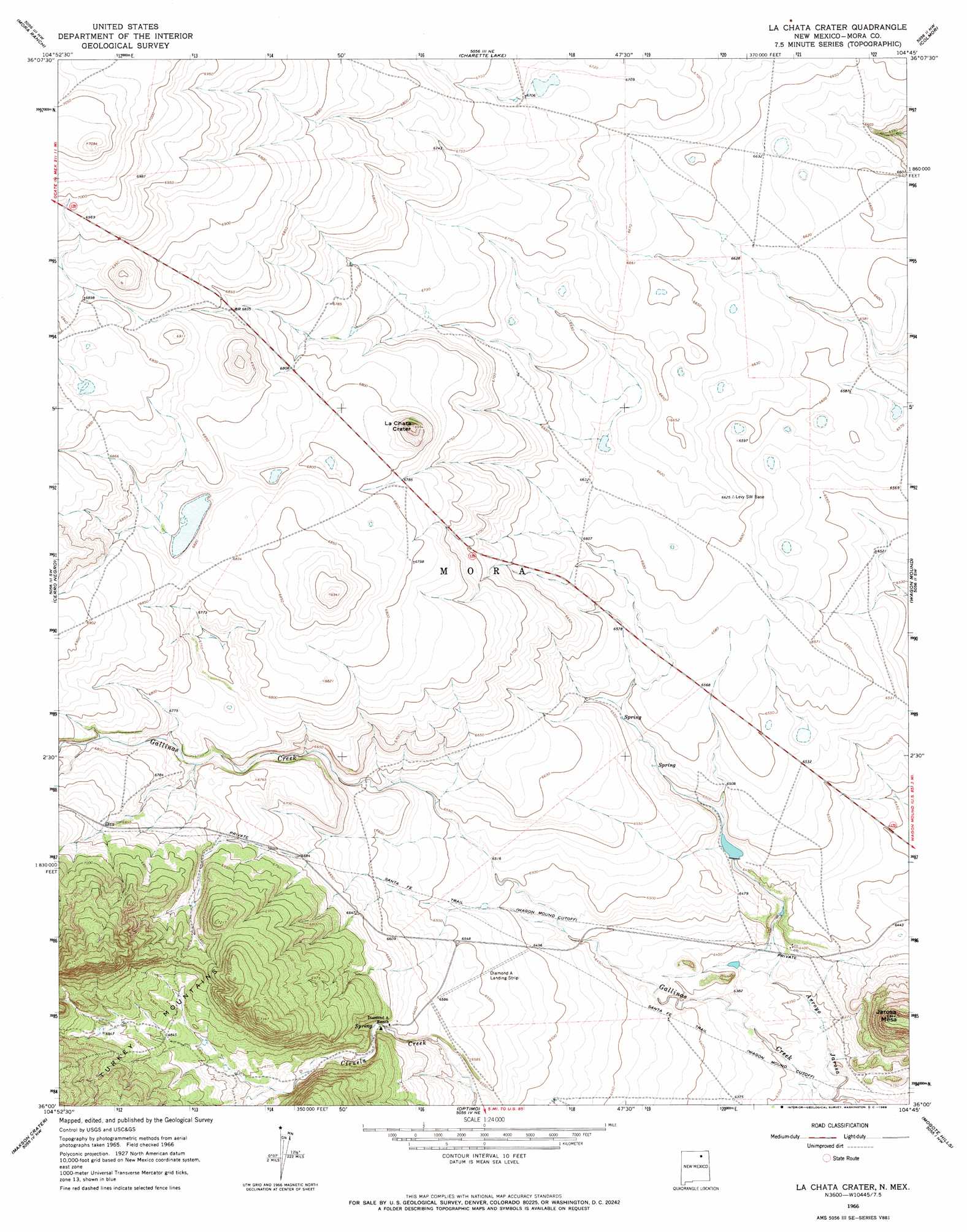
USGS Topo Quad 36104a7 - 1:24,000 scale
| Topo Map Name: | La Chata Crater |
| USGS Topo Quad ID: | 36104a7 |
| Print Size: | ca. 21 1/4" wide x 27" high |
| Southeast Coordinates: | 36° N latitude / 104.75° W longitude |
| Map Center Coordinates: | 36.0625° N latitude / 104.8125° W longitude |
| U.S. State: | NM |
| Filename: | o36104a7.jpg |
| Download Map JPG Image: | La Chata Crater topo map 1:24,000 scale |
| Map Type: | Topographic |
| Topo Series: | 7.5´ |
| Map Scale: | 1:24,000 |
| Source of Map Images: | United States Geological Survey (USGS) |
| Alternate Map Versions: |
La Chata Crater NM 1966, updated 1968 Download PDF Buy paper map La Chata Crater NM 2010 Download PDF Buy paper map La Chata Crater NM 2013 Download PDF Buy paper map La Chata Crater NM 2017 Download PDF Buy paper map |
1:24,000 Topo Quads surrounding La Chata Crater
White Peak |
Rayado |
Miami |
Pinon Hills |
Springer |
Ocate |
Mora Ranch |
Charette Lake |
Colmor |
Stony Lake |
Ojo Feliz |
Cerro Negro |
La Chata Crater |
Wagon Mound |
Alto De Hormiga |
Fort Union |
Maxson Crater |
Optimo |
Mogote Hills |
Alamosa Creek |
Loma Parda |
Watrous |
Cherry Valley Lake |
Frutosa Lake |
Canon Ancho |
> Back to 36104a1 at 1:100,000 scale
> Back to 36104a1 at 1:250,000 scale
> Back to U.S. Topo Maps home
La Chata Crater topo map: Gazetteer
La Chata Crater: Dams
Jarosa Reservoir Dam elevation 1949m 6394′La Chata Crater: Mines
La Chata Crater elevation 2088m 6850′La Chata Crater: Streams
Gallinas Creek elevation 1924m 6312′La Chata Crater: Summits
Jarosa Mesa elevation 2106m 6909′La Chata Crater elevation 2100m 6889′
La Chata Crater: Trails
Santa Fe Trail elevation 1988m 6522′La Chata Crater digital topo map on disk
Buy this La Chata Crater topo map showing relief, roads, GPS coordinates and other geographical features, as a high-resolution digital map file on DVD: