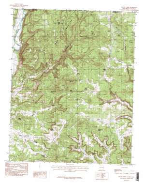
Tank Mountain Topo Map New Mexico
To zoom in, hover over the map of Tank Mountain
USGS Topo Quad 36107h7 - 1:24,000 scale
| Topo Map Name: | Tank Mountain |
| USGS Topo Quad ID: | 36107h7 |
| Print Size: | ca. 21 1/4" wide x 27" high |
| Southeast Coordinates: | 36.875° N latitude / 107.75° W longitude |
| Map Center Coordinates: | 36.9375° N latitude / 107.8125° W longitude |
| U.S. State: | NM |
| Filename: | o36107h7.jpg |
| Download Map JPG Image: | Tank Mountain topo map 1:24,000 scale |
| Map Type: | Topographic |
| Topo Series: | 7.5´ |
| Map Scale: | 1:24,000 |
| Source of Map Images: | United States Geological Survey (USGS) |
| Alternate Map Versions: |
Mount Nebo NM 1985, updated 1985 Download PDF Buy paper map Mount Nebo NM 2010 Download PDF Buy paper map Mount Nebo NM 2013 Download PDF Buy paper map Mount Nebo NM 2017 Download PDF Buy paper map |
1:24,000 Topo Quads surrounding Tank Mountain
> Back to 36107e1 at 1:100,000 scale
> Back to 36106a1 at 1:250,000 scale
> Back to U.S. Topo Maps home
Tank Mountain topo map: Gazetteer
Tank Mountain: Arches
Arch Rock elevation 1953m 6407′Tank Mountain: Basins
Beanie Pockets elevation 1993m 6538′Tank Mountain: Canals
Ralston Ditch elevation 1811m 5941′Twin Rock Ditch elevation 1818m 5964′
Tank Mountain: Flats
Long Glade elevation 2021m 6630′Tank Mountain: Reservoirs
C C Reservoir elevation 2001m 6564′Tank Mountain: Springs
Arch Rock elevation 1999m 6558′Arch Rock Spring elevation 1970m 6463′
Beanie Pockets Spring elevation 2008m 6587′
Cattail Spring elevation 2100m 6889′
Garrison Spring elevation 1915m 6282′
Hidden Springs elevation 2039m 6689′
Hog Spring elevation 2067m 6781′
Ice Spring elevation 2039m 6689′
John Brown Spring elevation 1957m 6420′
Last Chance Spring elevation 2039m 6689′
Miller Spring elevation 1859m 6099′
Pipeline Spring elevation 2056m 6745′
Rawhide Spring elevation 1988m 6522′
Shovel Spring elevation 2087m 6847′
Stephel Spring elevation 1921m 6302′
Tank Mountain Spring elevation 2043m 6702′
Tank Springs elevation 2041m 6696′
Tank Mountain: Summits
Mesa Mountains elevation 2063m 6768′Mount Nebo elevation 2138m 7014′
Tank Mountain elevation 2191m 7188′
Tank Mountain: Valleys
Cabin Canyon elevation 1919m 6295′Line Canyon elevation 1809m 5935′
Pine Canyon elevation 1909m 6263′
Tank Mountain digital topo map on disk
Buy this Tank Mountain topo map showing relief, roads, GPS coordinates and other geographical features, as a high-resolution digital map file on DVD:


