Rock Point Sw Topo Map Arizona
To zoom in, hover over the map of Rock Point Sw
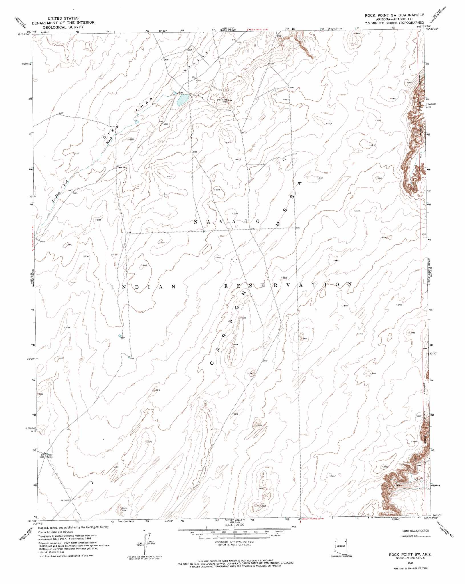
USGS Topo Quad 36109e6 - 1:24,000 scale
| Topo Map Name: | Rock Point Sw |
| USGS Topo Quad ID: | 36109e6 |
| Print Size: | ca. 21 1/4" wide x 27" high |
| Southeast Coordinates: | 36.5° N latitude / 109.625° W longitude |
| Map Center Coordinates: | 36.5625° N latitude / 109.6875° W longitude |
| U.S. State: | AZ |
| Filename: | o36109e6.jpg |
| Download Map JPG Image: | Rock Point Sw topo map 1:24,000 scale |
| Map Type: | Topographic |
| Topo Series: | 7.5´ |
| Map Scale: | 1:24,000 |
| Source of Map Images: | United States Geological Survey (USGS) |
| Alternate Map Versions: |
Rock Point SW AZ 1968, updated 1971 Download PDF Buy paper map Rock Point SW AZ 2011 Download PDF Buy paper map Rock Point SW AZ 2014 Download PDF Buy paper map |
1:24,000 Topo Quads surrounding Rock Point Sw
Red Point |
Dennehotso |
Mexican Water Sw |
Hogansaani Spring |
Walker Butte |
Red Point Mesa |
Tall Mesa |
Rock Point |
Dancing Rocks |
White Area Canyon |
Sweetwater Mesa |
White Point |
Rock Point Sw |
Little Round Rock |
Round Rock |
Rough Rock Nw |
Rough Rock |
Windy Valley |
Many Farms Ne |
Fire Dance Mesa |
Tah Chee Wash |
Sweathouse Peak |
Many Farms Sw |
Many Farms |
Tall Tree Mesa |
> Back to 36109e1 at 1:100,000 scale
> Back to 36108a1 at 1:250,000 scale
> Back to U.S. Topo Maps home
Rock Point Sw topo map: Gazetteer
Rock Point Sw: Valleys
Trading Post Wash elevation 1610m 5282′Rock Point Sw: Wells
Dibe Chaa Well elevation 1614m 5295′Rock Point Sw digital topo map on disk
Buy this Rock Point Sw topo map showing relief, roads, GPS coordinates and other geographical features, as a high-resolution digital map file on DVD: