Aysees Peak Topo Map Nevada
To zoom in, hover over the map of Aysees Peak
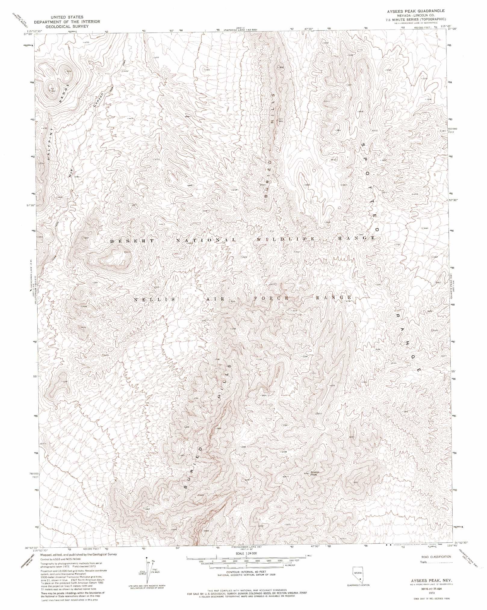
USGS Topo Quad 36115h7 - 1:24,000 scale
| Topo Map Name: | Aysees Peak |
| USGS Topo Quad ID: | 36115h7 |
| Print Size: | ca. 21 1/4" wide x 27" high |
| Southeast Coordinates: | 36.875° N latitude / 115.75° W longitude |
| Map Center Coordinates: | 36.9375° N latitude / 115.8125° W longitude |
| U.S. State: | NV |
| Filename: | o36115h7.jpg |
| Download Map JPG Image: | Aysees Peak topo map 1:24,000 scale |
| Map Type: | Topographic |
| Topo Series: | 7.5´ |
| Map Scale: | 1:24,000 |
| Source of Map Images: | United States Geological Survey (USGS) |
| Alternate Map Versions: |
Aysees Peak NV 1973, updated 1976 Download PDF Buy paper map Aysees Peak NV 1973, updated 1985 Download PDF Buy paper map |
1:24,000 Topo Quads surrounding Aysees Peak
Oak Spring |
Jangle Ridge |
Papoose Range |
Fallout Hills Nw |
Fallout Hills Ne |
Yucca Flat |
Paiute Ridge |
Papoose Lake |
Fallout Hills |
Southeastern Mine |
Yucca Lake |
Plutonium Valley |
Aysees Peak |
Quartz Peak Nw |
Quartz Peak |
Cane Spring |
Frenchman Lake |
Frenchman Lake Se |
Quartz Peak Sw |
Tim Spring |
Camp Desert Rock |
Mercury |
Mercury Ne |
Indian Springs Nw |
Heavens Well |
> Back to 36115e1 at 1:100,000 scale
> Back to 36114a1 at 1:250,000 scale
> Back to U.S. Topo Maps home
Aysees Peak topo map: Gazetteer
Aysees Peak: Ranges
Buried Hills elevation 1638m 5374′Aysees Peak: Summits
Aysees Peak elevation 1904m 6246′Aysees Peak digital topo map on disk
Buy this Aysees Peak topo map showing relief, roads, GPS coordinates and other geographical features, as a high-resolution digital map file on DVD:
Southern Sierra Nevada, California & Southern Nevada
Buy digital topo maps: Southern Sierra Nevada, California & Southern Nevada