Rough Spur Topo Map California
To zoom in, hover over the map of Rough Spur
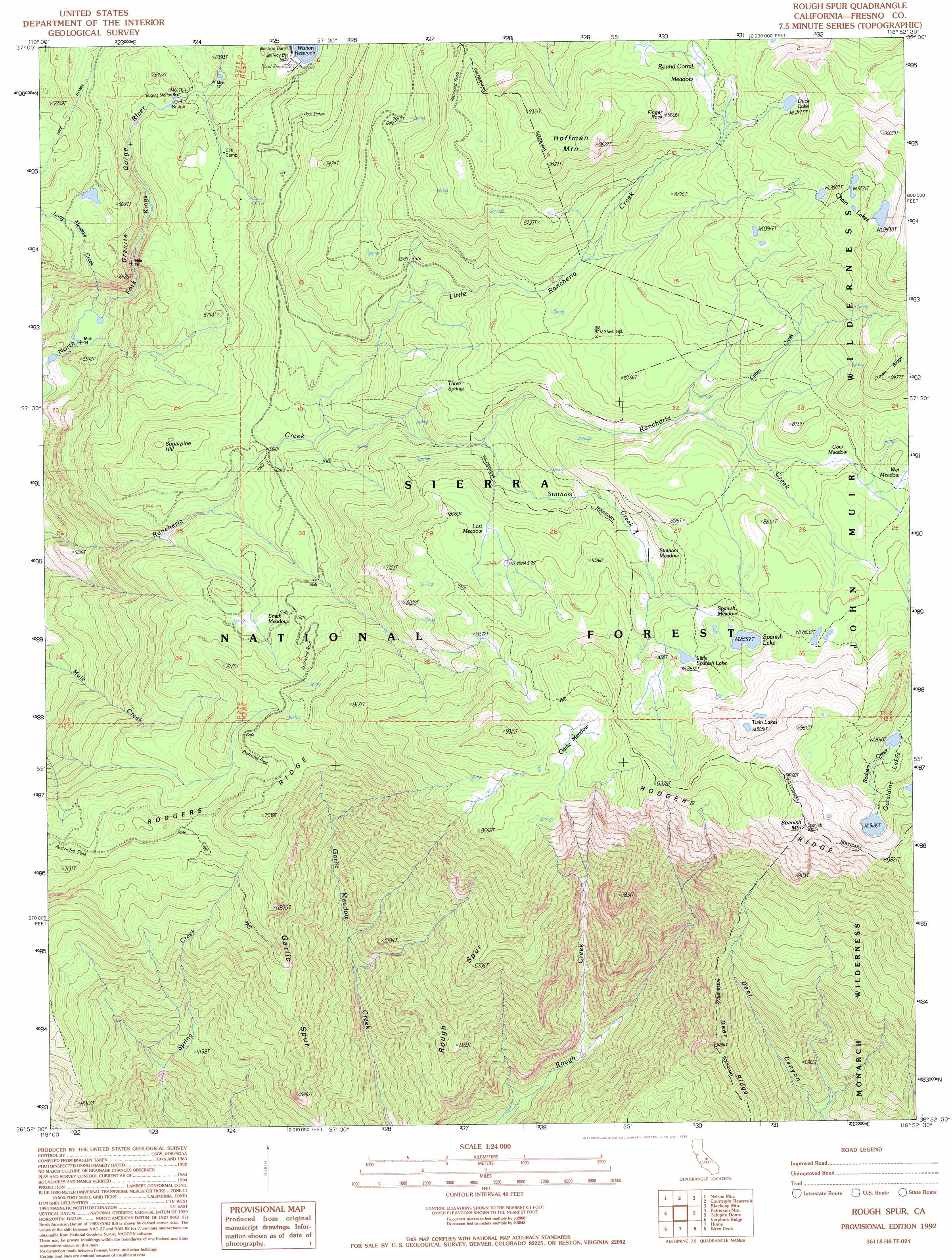
USGS Topo Quad 36118h8 - 1:24,000 scale
| Topo Map Name: | Rough Spur |
| USGS Topo Quad ID: | 36118h8 |
| Print Size: | ca. 21 1/4" wide x 27" high |
| Southeast Coordinates: | 36.875° N latitude / 118.875° W longitude |
| Map Center Coordinates: | 36.9375° N latitude / 118.9375° W longitude |
| U.S. State: | CA |
| Filename: | o36118h8.jpg |
| Download Map JPG Image: | Rough Spur topo map 1:24,000 scale |
| Map Type: | Topographic |
| Topo Series: | 7.5´ |
| Map Scale: | 1:24,000 |
| Source of Map Images: | United States Geological Survey (USGS) |
| Alternate Map Versions: |
Rough Spur CA 1986, updated 1987 Download PDF Buy paper map Rough Spur CA 1992, updated 1994 Download PDF Buy paper map Rough Spur CA 2004, updated 2007 Download PDF Buy paper map Rough Spur CA 2012 Download PDF Buy paper map Rough Spur CA 2015 Download PDF Buy paper map |
| FStopo: | US Forest Service topo Rough Spur is available: Download FStopo PDF Download FStopo TIF |
1:24,000 Topo Quads surrounding Rough Spur
Huntington Lake |
Dogtooth Peak |
Ward Mountain |
Mount Henry |
Mount Darwin |
Dinkey Creek |
Nelson Mountain |
Courtright Reservoir |
Blackcap Mountain |
Mount Goddard |
Sacate Ridge |
Patterson Mountain |
Rough Spur |
Tehipite Dome |
Slide Bluffs |
Luckett Mountain |
Verplank Ridge |
Hume |
Wren Peak |
Cedar Grove |
Tucker Mountain |
Miramonte |
General Grant Grove |
Muir Grove |
Mount Stillman |
> Back to 36118e1 at 1:100,000 scale
> Back to 36118a1 at 1:250,000 scale
> Back to U.S. Topo Maps home
Rough Spur topo map: Gazetteer
Rough Spur: Flats
Cow Meadow elevation 2533m 8310′Garlic Meadow elevation 2688m 8818′
Lost Meadow elevation 2437m 7995′
Round Corral Meadow elevation 2767m 9078′
Smith Meadow elevation 2038m 6686′
Spanish Meadow elevation 2613m 8572′
Statham Meadow elevation 2471m 8106′
Wet Meadow elevation 2610m 8562′
Rough Spur: Lakes
Chain Lakes elevation 2800m 9186′Duck Lake elevation 2795m 9169′
Geraldine Lakes elevation 2834m 9297′
Little Spanish Lake elevation 2620m 8595′
Spanish Lake elevation 2609m 8559′
Twin Lakes elevation 2760m 9055′
Rough Spur: Pillars
Finger Rock elevation 2850m 9350′Rough Spur: Ridges
Garlic Spur elevation 1747m 5731′Rodgers Ridge elevation 2089m 6853′
Rough Spur elevation 2018m 6620′
Rough Spur: Springs
Three Springs elevation 2322m 7618′Rough Spur: Streams
Cabin Creek elevation 2438m 7998′Little Rancheria Creek elevation 2076m 6811′
Long Meadow Creek elevation 1608m 5275′
Statham Creek elevation 2255m 7398′
Statham River elevation 2255m 7398′
Rough Spur: Summits
Hoffman Mountain elevation 2885m 9465′Spanish Mountain elevation 3036m 9960′
Sugarpine Hill elevation 2140m 7020′
Rough Spur: Valleys
Granite Gorge elevation 1608m 5275′Rough Spur digital topo map on disk
Buy this Rough Spur topo map showing relief, roads, GPS coordinates and other geographical features, as a high-resolution digital map file on DVD:
Southern Sierra Nevada, California & Southern Nevada
Buy digital topo maps: Southern Sierra Nevada, California & Southern Nevada