Pamplin Topo Map Virginia
To zoom in, hover over the map of Pamplin
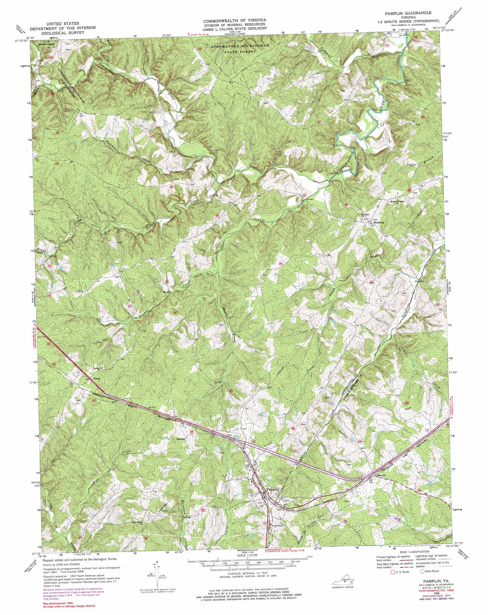
USGS Topo Quad 37078c6 - 1:24,000 scale
| Topo Map Name: | Pamplin |
| USGS Topo Quad ID: | 37078c6 |
| Print Size: | ca. 21 1/4" wide x 27" high |
| Southeast Coordinates: | 37.25° N latitude / 78.625° W longitude |
| Map Center Coordinates: | 37.3125° N latitude / 78.6875° W longitude |
| U.S. State: | VA |
| Filename: | o37078c6.jpg |
| Download Map JPG Image: | Pamplin topo map 1:24,000 scale |
| Map Type: | Topographic |
| Topo Series: | 7.5´ |
| Map Scale: | 1:24,000 |
| Source of Map Images: | United States Geological Survey (USGS) |
| Alternate Map Versions: |
Pamplin VA 1968, updated 1972 Download PDF Buy paper map Pamplin VA 1968, updated 1976 Download PDF Buy paper map Pamplin VA 1968, updated 1985 Download PDF Buy paper map Pamplin VA 2010 Download PDF Buy paper map Pamplin VA 2013 Download PDF Buy paper map Pamplin VA 2016 Download PDF Buy paper map |
1:24,000 Topo Quads surrounding Pamplin
Buffalo Ridge |
Gladstone |
Saint Joy |
Buckingham |
Dillwyn |
Stonewall |
Vera |
Holiday Lake |
Andersonville |
Willis Mountain |
Concord |
Appomattox |
Pamplin |
Prospect |
Farmville |
Mike |
Red House |
Madisonville |
Abilene |
Hampden Sydney |
Brookneal |
Aspen |
Charlotte Court House |
Eureka |
Keysville |
> Back to 37078a1 at 1:100,000 scale
> Back to 37078a1 at 1:250,000 scale
> Back to U.S. Topo Maps home
Pamplin topo map: Gazetteer
Pamplin: Populated Places
Bowler elevation 225m 738′Flood elevation 222m 728′
Hixburg elevation 196m 643′
Pamplin elevation 210m 688′
Shields elevation 219m 718′
Pamplin: Streams
Bowler Creek elevation 153m 501′Cedar Creek elevation 143m 469′
Crane Creek elevation 134m 439′
Fishpond Creek elevation 125m 410′
Pine Creek elevation 156m 511′
Poorhouse Creek elevation 155m 508′
Rough Creek elevation 142m 465′
South Fork Appomattox River elevation 161m 528′
Suanee Creek elevation 137m 449′
Wolf Creek elevation 157m 515′
Pamplin digital topo map on disk
Buy this Pamplin topo map showing relief, roads, GPS coordinates and other geographical features, as a high-resolution digital map file on DVD:
Western Virginia & Southern West Virginia
Buy digital topo maps: Western Virginia & Southern West Virginia