Colesburg Topo Map Kentucky
To zoom in, hover over the map of Colesburg
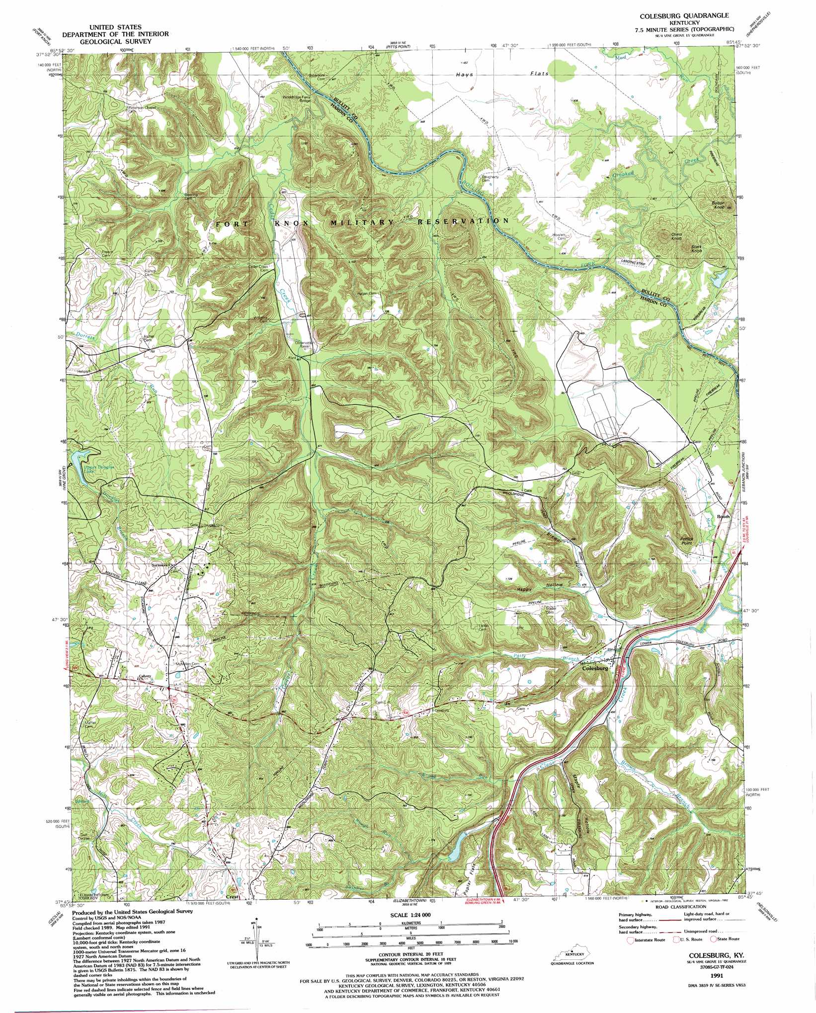
USGS Topo Quad 37085g7 - 1:24,000 scale
| Topo Map Name: | Colesburg |
| USGS Topo Quad ID: | 37085g7 |
| Print Size: | ca. 21 1/4" wide x 27" high |
| Southeast Coordinates: | 37.75° N latitude / 85.75° W longitude |
| Map Center Coordinates: | 37.8125° N latitude / 85.8125° W longitude |
| U.S. State: | KY |
| Filename: | o37085g7.jpg |
| Download Map JPG Image: | Colesburg topo map 1:24,000 scale |
| Map Type: | Topographic |
| Topo Series: | 7.5´ |
| Map Scale: | 1:24,000 |
| Source of Map Images: | United States Geological Survey (USGS) |
| Alternate Map Versions: |
Colesburg KY 1946 Download PDF Buy paper map Colesburg KY 1960, updated 1961 Download PDF Buy paper map Colesburg KY 1960, updated 1969 Download PDF Buy paper map Colesburg KY 1960, updated 1983 Download PDF Buy paper map Colesburg KY 1991, updated 1992 Download PDF Buy paper map Colesburg KY 2010 Download PDF Buy paper map Colesburg KY 2013 Download PDF Buy paper map Colesburg KY 2016 Download PDF Buy paper map |
1:24,000 Topo Quads surrounding Colesburg
Laconia |
Kosmosdale |
Valley Station |
Brooks |
Mount Washington |
Rock Haven |
Fort Knox |
Pitts Point |
Shepherdsville |
Samuels |
Flaherty |
Vine Grove |
Colesburg |
Lebanon Junction |
Cravens |
Howe Valley |
Cecilia |
Elizabethtown |
Nelsonville |
New Haven |
Summit |
Sonora |
Tonieville |
Hodgenville |
Howardstown |
> Back to 37085e1 at 1:100,000 scale
> Back to 37084a1 at 1:250,000 scale
> Back to U.S. Topo Maps home
Colesburg topo map: Gazetteer
Colesburg: Bridges
Wooldridge Ferry Bridge elevation 120m 393′Colesburg: Cliffs
Potlick Point elevation 142m 465′Colesburg: Flats
Hays Flats elevation 137m 449′Poplar Flats elevation 241m 790′
Colesburg: Populated Places
Booth elevation 134m 439′Colesburg elevation 137m 449′
Crest elevation 272m 892′
Colesburg: Reservoirs
Upper Douglas Lake elevation 210m 688′Colesburg: Streams
Broad Run elevation 147m 482′Brown Branch elevation 140m 459′
Cedar Creek elevation 120m 393′
Crooked Creek elevation 120m 393′
Mud Creek elevation 128m 419′
Patty Branch elevation 132m 433′
Rough Run elevation 178m 583′
Sulphur Branch elevation 153m 501′
Colesburg: Summits
Bolton Knob elevation 229m 751′Orms Knob elevation 235m 770′
Stark Knob elevation 221m 725′
Colesburg: Valleys
Brewer Hollow elevation 137m 449′Happy Hollow elevation 142m 465′
Maple Hollow elevation 158m 518′
Colesburg digital topo map on disk
Buy this Colesburg topo map showing relief, roads, GPS coordinates and other geographical features, as a high-resolution digital map file on DVD: