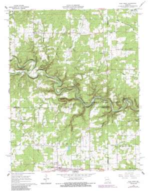
Pine Crest Topo Map Missouri
To zoom in, hover over the map of Pine Crest
USGS Topo Quad 37091a6 - 1:24,000 scale
| Topo Map Name: | Pine Crest |
| USGS Topo Quad ID: | 37091a6 |
| Print Size: | ca. 21 1/4" wide x 27" high |
| Southeast Coordinates: | 37° N latitude / 91.625° W longitude |
| Map Center Coordinates: | 37.0625° N latitude / 91.6875° W longitude |
| U.S. State: | MO |
| Filename: | o37091a6.jpg |
| Download Map JPG Image: | Pine Crest topo map 1:24,000 scale |
| Map Type: | Topographic |
| Topo Series: | 7.5´ |
| Map Scale: | 1:24,000 |
| Source of Map Images: | United States Geological Survey (USGS) |
| Alternate Map Versions: |
Pine Crest MO 1968, updated 1968 Download PDF Buy paper map Pine Crest MO 1968, updated 1981 Download PDF Buy paper map Pine Crest MO 1968, updated 1985 Download PDF Buy paper map Pine Crest MO 1968, updated 1985 Download PDF Buy paper map Pine Crest MO 2011 Download PDF Buy paper map Pine Crest MO 2015 Download PDF Buy paper map |
1:24,000 Topo Quads surrounding Pine Crest
> Back to 37091a1 at 1:100,000 scale
> Back to 37090a1 at 1:250,000 scale
> Back to U.S. Topo Maps home
Pine Crest topo map: Gazetteer
Pine Crest: Bars
Baptizing Hole elevation 255m 836′Pine Crest: Cliffs
Chimney Rock elevation 340m 1115′Pine Crest: Flats
Hickory Flat elevation 323m 1059′Pine Crest: Parks
Barn Hollow Natural Area elevation 320m 1049′Blue Spring Campsite elevation 254m 833′
Pine Crest: Populated Places
Arroll elevation 366m 1200′Cardinal Acres elevation 264m 866′
Harlow Ford elevation 270m 885′
Oakside elevation 371m 1217′
Pine Crest elevation 368m 1207′
Ratcliff Ford elevation 272m 892′
Turnerville elevation 361m 1184′
Pine Crest: Springs
Blue Spring elevation 254m 833′Chimney Rock Spring elevation 274m 898′
Pine Crest: Streams
Gill Branch elevation 265m 869′North Prong Jacks Fork elevation 278m 912′
South Prong Jacks Fork elevation 278m 912′
Pine Crest: Valleys
Barn Hollow elevation 265m 869′Belew Hollow elevation 270m 885′
Bell Hollow elevation 279m 915′
Buck Hollow elevation 261m 856′
Buckhorn Hollow elevation 280m 918′
Coon Hollow elevation 267m 875′
Grassy Hollow elevation 273m 895′
McCubbin Hollow elevation 260m 853′
Panther Hollow elevation 267m 875′
Pine Crest digital topo map on disk
Buy this Pine Crest topo map showing relief, roads, GPS coordinates and other geographical features, as a high-resolution digital map file on DVD:


