Liberal Ne Topo Map Kansas
To zoom in, hover over the map of Liberal Ne
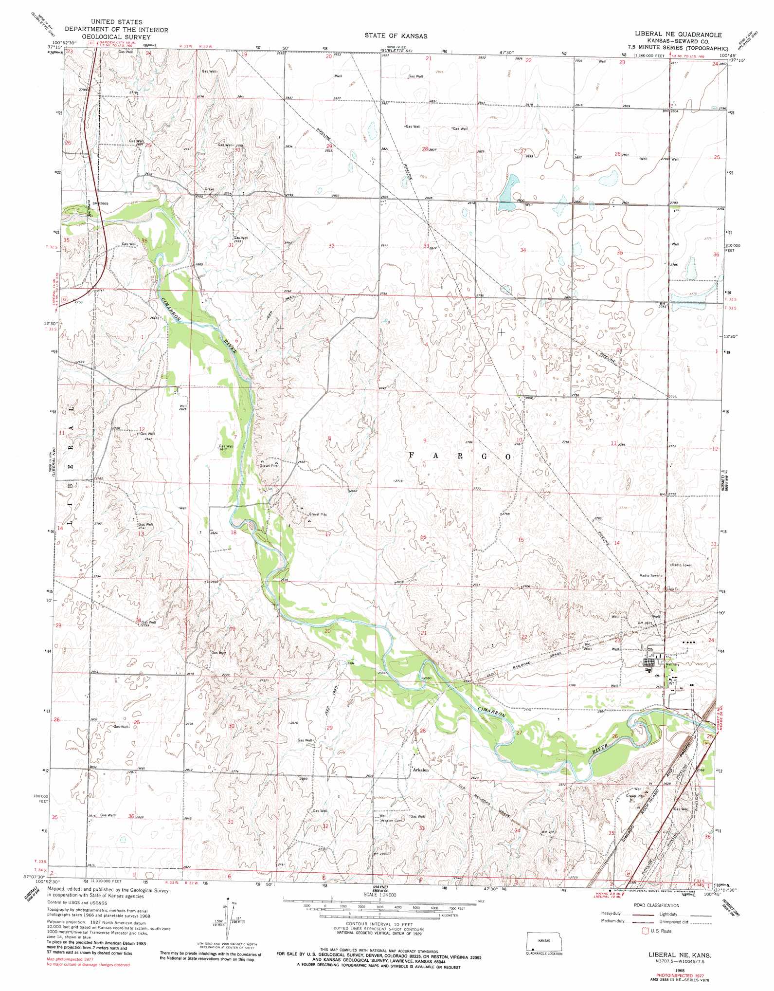
USGS Topo Quad 37100b7 - 1:24,000 scale
| Topo Map Name: | Liberal Ne |
| USGS Topo Quad ID: | 37100b7 |
| Print Size: | ca. 21 1/4" wide x 27" high |
| Southeast Coordinates: | 37.125° N latitude / 100.75° W longitude |
| Map Center Coordinates: | 37.1875° N latitude / 100.8125° W longitude |
| U.S. State: | KS |
| Filename: | o37100b7.jpg |
| Download Map JPG Image: | Liberal Ne topo map 1:24,000 scale |
| Map Type: | Topographic |
| Topo Series: | 7.5´ |
| Map Scale: | 1:24,000 |
| Source of Map Images: | United States Geological Survey (USGS) |
| Alternate Map Versions: |
Liberal NE KS 1968, updated 1970 Download PDF Buy paper map Liberal NE KS 1968, updated 1973 Download PDF Buy paper map Liberal NE KS 1968, updated 1983 Download PDF Buy paper map Liberal NE KS 2010 Download PDF Buy paper map Liberal NE KS 2012 Download PDF Buy paper map Liberal NE KS 2016 Download PDF Buy paper map |
1:24,000 Topo Quads surrounding Liberal Ne
Ryus |
Satanta |
Sublette |
Plains Nw |
Plains Ne |
Moscow Se |
Sublette Sw |
Sublette Se |
Plains Sw |
Plains |
Woods |
Liberal Nw |
Liberal Ne |
Kismet |
Kismet Ne |
Woods Se |
Liberal |
Hayne |
Kismet Sw |
Kismet Se |
Tyrone |
Little Ponderosa |
Turpin Ne |
Beaver Nw |
Forgan |
> Back to 37100a1 at 1:100,000 scale
> Back to 37100a1 at 1:250,000 scale
> Back to U.S. Topo Maps home
Liberal Ne digital topo map on disk
Buy this Liberal Ne topo map showing relief, roads, GPS coordinates and other geographical features, as a high-resolution digital map file on DVD: