Santa Clara Topo Map Colorado
To zoom in, hover over the map of Santa Clara
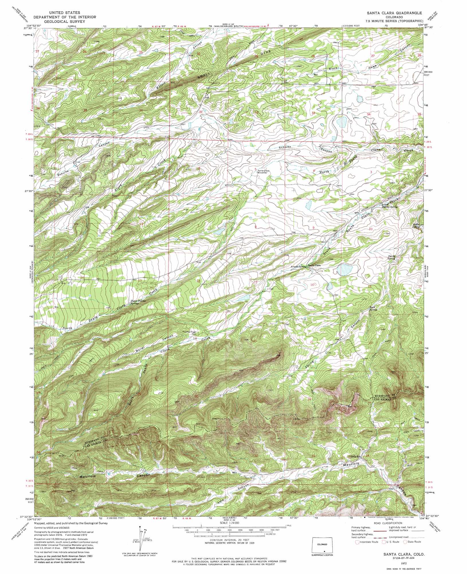
USGS Topo Quad 37104d7 - 1:24,000 scale
| Topo Map Name: | Santa Clara |
| USGS Topo Quad ID: | 37104d7 |
| Print Size: | ca. 21 1/4" wide x 27" high |
| Southeast Coordinates: | 37.375° N latitude / 104.75° W longitude |
| Map Center Coordinates: | 37.4375° N latitude / 104.8125° W longitude |
| U.S. State: | CO |
| Filename: | o37104d7.jpg |
| Download Map JPG Image: | Santa Clara topo map 1:24,000 scale |
| Map Type: | Topographic |
| Topo Series: | 7.5´ |
| Map Scale: | 1:24,000 |
| Source of Map Images: | United States Geological Survey (USGS) |
| Alternate Map Versions: |
Santa Clara CO 1972, updated 1974 Download PDF Buy paper map Santa Clara CO 1972, updated 1974 Download PDF Buy paper map Santa Clara CO 1972, updated 1985 Download PDF Buy paper map Santa Clara CO 1972, updated 1985 Download PDF Buy paper map Santa Clara CO 2010 Download PDF Buy paper map Santa Clara CO 2013 Download PDF Buy paper map Santa Clara CO 2016 Download PDF Buy paper map |
1:24,000 Topo Quads surrounding Santa Clara
Farisita |
Black Hills |
Walsenburg North |
Maria Reservoir |
Cucharas Reservoir |
La Veta |
Ritter Arroyo |
Walsenburg South |
Pryor |
Pryor Se |
Cuchara |
Spanish Peaks |
Santa Clara |
Aguilar |
The Hogback |
Cucharas Pass |
Herlick Canyon |
Gulnare |
Delagua |
Ludlow |
Stonewall |
Vigil |
Weston |
Madrid |
Trinidad West |
> Back to 37104a1 at 1:100,000 scale
> Back to 37104a1 at 1:250,000 scale
> Back to U.S. Topo Maps home
Santa Clara topo map: Gazetteer
Santa Clara: Dams
Arnold Flood Water Dam elevation 2192m 7191′Sunnyside Dam elevation 2168m 7112′
Santa Clara: Mines
Leader Mine elevation 2084m 6837′Santa Clara: Reservoirs
Arnold Flood Water Reservoir elevation 2192m 7191′Sunnyside Reservoir elevation 2168m 7112′
Santa Clara: Ridges
Small Dyke elevation 2164m 7099′Santa Clara: Springs
Arnold Spring elevation 2129m 6984′Boiler Spring elevation 2067m 6781′
Buck Spring elevation 2128m 6981′
Lower Duhme Spring elevation 2067m 6781′
Smith Spring elevation 2093m 6866′
Santa Clara: Streams
Story Creek elevation 2133m 6998′Santa Clara: Valleys
Boiler Canyon elevation 2245m 7365′Luis Canyon elevation 2206m 7237′
Schultz Canyon elevation 2067m 6781′
Santa Clara digital topo map on disk
Buy this Santa Clara topo map showing relief, roads, GPS coordinates and other geographical features, as a high-resolution digital map file on DVD: